


2,6 km | 2,8 km-effort

Benutzer


Kostenlosegpshiking-Anwendung
 SityTrail
IGN / Geografische Institute
SityTrail World
Die Welt öffnet sich für Sie
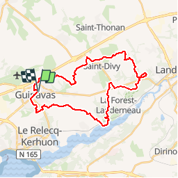
Tour Pferd von 31 km verfügbar auf Bretagne, Finistère, Guipavas. Diese Tour wird von tracegps vorgeschlagen.
Circuit typé vtt enduro, comme toujours sur Ainsa, exigeant physiquement et techniquement. Il peut se faire toute l'année, toutefois attention dans les descentes en conditions humides car les dalles pierreuses peuvent être piégeuses!


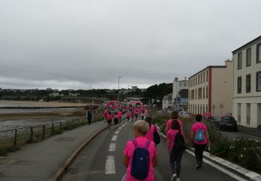
Wandern

Wandern

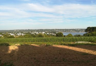
Nordic Walking
Wandern
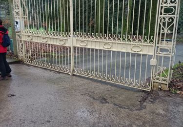
Wandern
Wandern
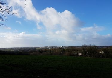
Nordic Walking

Wandern
Wandern