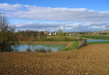
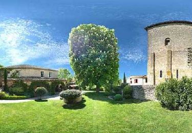
Tour Mountainbike Moirax - Moirax, dans les coteaux de Marescot - Photo

Moirax, dans les coteaux de Marescot

 tracegps
tracegps

Benutzer

© OpenStreetMap contributors
Länge
Länge
13,2 km
Maximale Höhe
Maximale Höhe
162 m
Positive Höhendifferenz
341 m
Km-Effort
Km-Effort  
17,7 km
Min. Höhe
Min. Höhe
64 m
Negative Höhendifferenz
337 m
Boucle
Boucle
Ja
Erstellungsdatum :
2014-12-10 00:00:00.0
Letzte Änderung :
2014-12-10 00:00:00.0

(0 Nachricht)

Mountainbike
Mountainbike
1h40
Schwierigkeit : Medium

Scannen Sie diesen QR-Code, um die Tour in der SityTrail-Anwendung zu öffnen

Kostenlosegpshiking-Anwendung

Logo SityTrail SityTrail

IGN / Geografische Institute

SityTrail aus dem App Store herunterladen SityTrail von Google Play herunterladen

Logo SityTrail SityTrail World

Die Welt öffnet sich für Sie

SityTrail aus dem App Store herunterladen SityTrail von Google Play herunterladen SityTrail auf Huawei AppGallery herunterladen

Über SityTrail

Tour Mountainbike von 13,2 km verfügbar auf Neu-Aquitanien, Lot-et-Garonne, Moirax. Diese Tour wird von tracegps vorgeschlagen.

Beschreibung

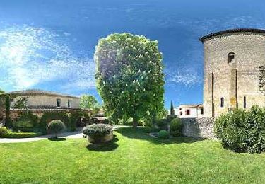
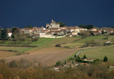
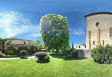
Ce circuit passe, sous et au dessus de l’autoroute A 62. Le bruit de la circulation n’est gênant que sur la partie nord de la boucle. Sinon très beaux paysages sur la vallée de la Garonne, proche d’Agen. Vous stationnez sur le parking, à gauche en venant d’Agen, au nord de Moirax sur la D 268, 100 m avant l'église. Téléchargez la fiche de cette randonnée sur le site du Tourisme du Lot et Garonne.

Höhenprofil

Foto-Galerie

Ort

Land:
France
Region :
Neu-Aquitanien
Abteilung/Provinz :
Lot-et-Garonne
Kommune :
Moirax
Standort:
Unknown
Gehen Sie:(Dec)
Gehen Sie:(UTM)
308788 ; 4890383 (31T) N.

Touren in der Umgebung

Tour Wandern Moirax - Du Prieuré de Moirax à l'église de Sainte-Marie d'Aubiac - Pays de l'Agenais - Photo
Wandern
tracegps

Wandern

Schwierig
(1)
Moirax, Neu-Aquitanien, Lot-et-Garonne, France
15,2 km | 22 km-effort
4h 10min
Ja
Tour Wandern Moirax - Moirax, dans les coteaux de Marescot - Photo
Wandern
tracegps

Wandern

Schwierig
(1)
Moirax, Neu-Aquitanien, Lot-et-Garonne, France
13,2 km | 17,7 km-effort
3h 25min
Ja
Tour Wandern Boé - Passeligne pélissier - Photo
Wandern
gege47

Wandern

Sehr leicht
Boé, Neu-Aquitanien, Lot-et-Garonne, France
5 km | 5,5 km-effort
1h 10min
Ja
Tour Mountainbike Estillac - Moirax - Photo
Mountainbike
tracegps

Mountainbike

Sehr schwierig
(1)
Estillac, Neu-Aquitanien, Lot-et-Garonne, France
42 km | 53 km-effort
3h 0min
Ja
Tour Pferd Laplume - Randonnée dans les coteaux du Bruilhois- Laplume - Photo
Pferd
tracegps

Pferd

Medium
Laplume, Neu-Aquitanien, Lot-et-Garonne, France
16 km | 20 km-effort
2h 45min
Ja
Tour Mountainbike Laplume - Randonnée dans les coteaux du Bruilhois- Laplume - Photo
Mountainbike
tracegps

Mountainbike

Medium
Laplume, Neu-Aquitanien, Lot-et-Garonne, France
16 km | 20 km-effort
2h 0min
Ja
Tour Wandern Laplume - Randonnée dans les coteaux du Bruilhois- Laplume - Photo
Wandern
tracegps

Wandern

Schwierig
Laplume, Neu-Aquitanien, Lot-et-Garonne, France
16 km | 20 km-effort
4h 15min
Ja
Tour Pferd Moirax - Du Prieuré de Moirax à l'église de Sainte-Marie d'Aubiac - Pays de l'Agenais - Photo
Pferd
tracegps

Pferd

Schwierig
Moirax, Neu-Aquitanien, Lot-et-Garonne, France
15,2 km | 22 km-effort
2h 40min
Ja
Tour Mountainbike Moirax - Du Prieuré de Moirax à l'église de Sainte-Marie d'Aubiac - Pays de l'Agenais - Photo
Mountainbike
tracegps

Mountainbike

Schwierig
Moirax, Neu-Aquitanien, Lot-et-Garonne, France
15,2 km | 22 km-effort
2h 0min
Ja


Schließen
Meine Abonnements