


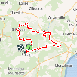

9,7 km | 12,4 km-effort

Benutzer


Kostenlosegpshiking-Anwendung
 SityTrail
IGN / Geografische Institute
SityTrail World
Die Welt öffnet sich für Sie
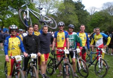
Tour Mountainbike von 30 km verfügbar auf Normandie, Manche, Teurthéville-Bocage. Diese Tour wird von tracegps vorgeschlagen.
Superbe circuit vallonné avec de beaux passages en sous bois, belle descente de ruisseau. Circuit par moment assez collant pour la saison. Accueil sympa et bon balisage.


Wandern
Wandern
Mountainbike

Wandern

Laufen
Wandern
Wandern
Wandern