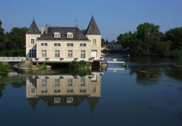
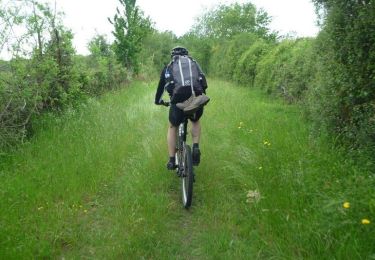
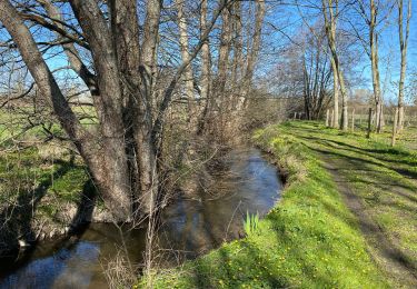
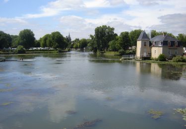
46 km | 51 km-effort
La Flèche - Saumur par les chemins
tracegps
Benutzer
Länge
88 km
Maximale Höhe
112 m
Positive Höhendifferenz
827 m
Km-Effort
99 km
Min. Höhe
16 m
Negative Höhendifferenz
780 m
Boucle
Nein
Erstellungsdatum :
2014-12-10 00:00:00.0
Letzte Änderung :
2014-12-10 00:00:00.0
5h00
Schwierigkeit : Medium
Kostenlosegpshiking-Anwendung
Über SityTrail
Tour Mountainbike von 88 km verfügbar auf Pays de la Loire, Sarthe, La Flèche. Diese Tour wird von tracegps vorgeschlagen.
Ort
Land:
France
Region :
Pays de la Loire
Abteilung/Provinz :
Sarthe
Kommune :
La Flèche
Standort:
Unknown
Gehen Sie:(Dec)
Gehen Sie:(UTM)
719456 ; 5286839 (30T) N.
Kommentare
Touren in der Umgebung
La Flèche - Grande Boucle Sud Ouest
Mountainbike
Schwierig
La Flèche,
Pays de la Loire,
Sarthe,
France
84 km | 96 km-effort
6h 0min
Ja
Tour de la Flèche en 4 Jours
Mountainbike
Einfach
La Flèche,
Pays de la Loire,
Sarthe,
France
163 km | 181 km-effort
16h 0min
Ja
La Flèche, Luché pringé
Radtourismus
Einfach
La Flèche,
Pays de la Loire,
Sarthe,
France
33 km | 35 km-effort
2h 15min
Nein
Nico tout seul très beau temps
Mountainbike
La Flèche,
Pays de la Loire,
Sarthe,
France
29 km | 32 km-effort
1h 35min
Ja
La Flèche - Grande Boucle Nord Est
Mountainbike
Schwierig
La Flèche,
Pays de la Loire,
Sarthe,
France
88 km | 101 km-effort
6h 0min
Ja
La Flèche Nord Ouest
Mountainbike
Einfach
La Flèche,
Pays de la Loire,
Sarthe,
France
35 km | 39 km-effort
2h 30min
Ja
La Flèche Nord
Mountainbike
Medium
La Flèche,
Pays de la Loire,
Sarthe,
France
31 km | 35 km-effort
2h 15min
Ja
La Fleche - Nord Est
Mountainbike
Medium
La Flèche,
Pays de la Loire,
Sarthe,
France
42 km | 48 km-effort
3h 0min
Ja