


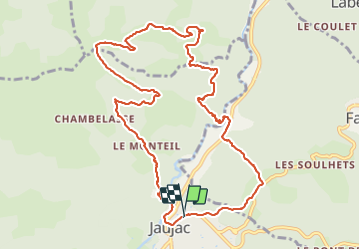

13,6 km | 23 km-effort

Benutzer


Kostenlosegpshiking-Anwendung
 SityTrail
IGN / Geografische Institute
SityTrail World
Die Welt öffnet sich für Sie
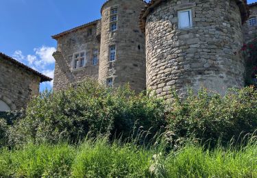
Tour Wandern von 12,4 km verfügbar auf Auvergne-Rhone-Alpen, Ardèche, Jaujac. Diese Tour wird von coureursdecretes vorgeschlagen.
Rando du 16/03/2022
ATTENTION: sentier peu marqué entre REPERE1 et REPERE2. Eviter surtout en pleine végétation (printemps, été)


Wandern
Wandern

Wandern
Wandern

Wandern
Wandern

Wandern

sport

Wandern