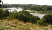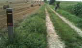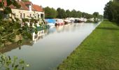

Les Champs Muraine - Cappy

tracegps
Benutzer

Länge
9,9 km

Maximale Höhe
91 m

Positive Höhendifferenz
153 m

Km-Effort
11,9 km

Min. Höhe
41 m

Negative Höhendifferenz
152 m
Boucle
Ja
Erstellungsdatum :
2014-12-10 00:00:00.0
Letzte Änderung :
2014-12-10 00:00:00.0
2h15
Schwierigkeit : Medium

Kostenlosegpshiking-Anwendung
Über SityTrail
Tour Wandern von 9,9 km verfügbar auf Nordfrankreich, Somme, Cappy. Diese Tour wird von tracegps vorgeschlagen.
Beschreibung
Cappy serait-elle plus ancienne qu'Amiens? Un sceau médiéval y fut trouvé, lors de la construction de la mairie. Il remonte à 1228. Alors, prenez garde où vous mettez les pieds!
Ort
Land:
France
Region :
Nordfrankreich
Abteilung/Provinz :
Somme
Kommune :
Cappy
Standort:
Unknown
Gehen Sie:(Dec)
Gehen Sie:(UTM)
482455 ; 5530715 (31U) N.
Kommentare
Touren in der Umgebung
Les Marais de Suzanne - Cappy


Wandern
Medium
(1)
Cappy,
Nordfrankreich,
Somme,
France

11,2 km | 13,2 km-effort
2h 45min
Ja
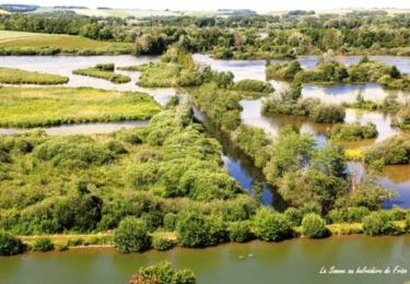
La Montagne de Frise


Wandern
Medium
(1)
Frise,
Nordfrankreich,
Somme,
France

2,2 km | 2,8 km-effort
49min
Ja
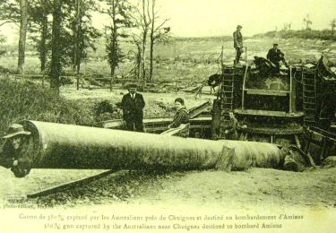
tour des étangs de curlu


Wandern
Sehr leicht
Curlu,
Nordfrankreich,
Somme,
France

10,5 km | 11,6 km-effort
2h 41min
Ja
Autour des étangs de Curlu et Feuillères


Wandern
Einfach
(1)
Curlu,
Nordfrankreich,
Somme,
France

11,6 km | 12,7 km-effort
3h 11min
Ja
Vaux - Marais de la Somme


Andere Aktivitäten
Sehr leicht
Éclusier-Vaux,
Nordfrankreich,
Somme,
France

8,7 km | 10,1 km-effort
2h 13min
Ja

montagne de frise


Wandern
Medium
(1)
Frise,
Nordfrankreich,
Somme,
France

2 km | 2,5 km-effort
1h 0min
Ja
Le chemin des Automitrailleuses - Curlu


Wandern
Medium
(1)
Curlu,
Nordfrankreich,
Somme,
France

11 km | 12 km-effort
3h 19min
Ja
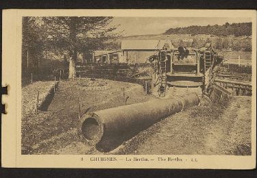
CHUIGNOLLES - 80 Circuit du gros canon


Wandern
Medium
Chuignolles,
Nordfrankreich,
Somme,
France

9,3 km | 11,2 km-effort
2h 33min
Ja


 SityTrail


