


5,5 km | 6 km-effort

Benutzer


Kostenlosegpshiking-Anwendung
 SityTrail
IGN / Geografische Institute
SityTrail World
Die Welt öffnet sich für Sie
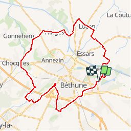
Tour Fahrrad von 36 km verfügbar auf Nordfrankreich, Pas-de-Calais, Beuvry. Diese Tour wird von tracegps vorgeschlagen.
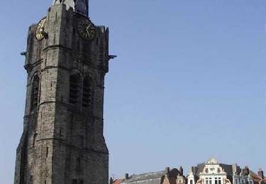
Départ de la mairie de Beuvry, place Roger Salengro. En fin de parcours, une petite boucle dans Beuvry permet de passer devant le manoir d'Estracelle, en cours de restauration. Retrouvez le circuit «Autour du beffroi» sur le site du conseil général du Pas-de-Calais.
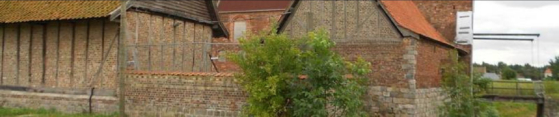
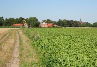
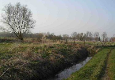
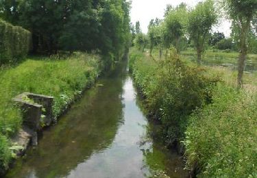
 - Beuvry - Photo 1")
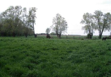
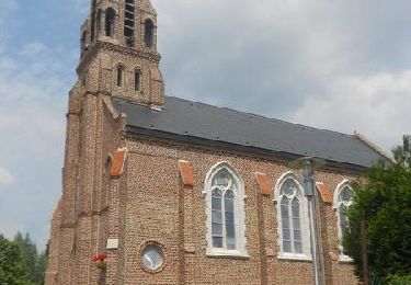
 - Beuvry - Photo 2")
 - Beuvry - Photo 3")
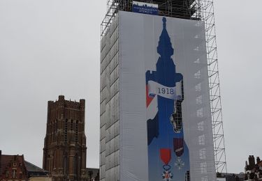
 - Beuvry - Photo 4")
 - Beuvry - Photo 5")
Wandern
Wandern
Wandern
Wandern
Wandern

Wandern
Wandern
Wandern
Wandern