


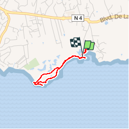

10,2 km | 12,8 km-effort

Benutzer


Kostenlosegpshiking-Anwendung
 SityTrail
IGN / Geografische Institute
SityTrail World
Die Welt öffnet sich für Sie
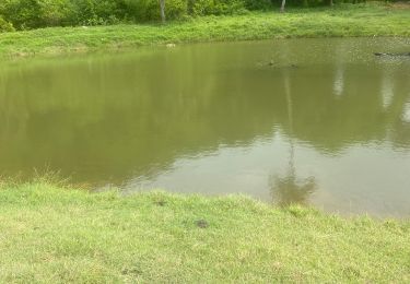
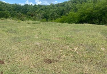
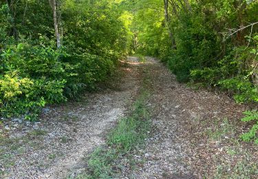
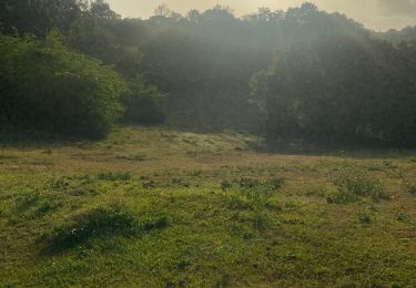
Tour Wandern von 3,6 km verfügbar auf Guadeloupe, Unbekannt, Le Gosier. Diese Tour wird von tracegps vorgeschlagen.
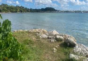
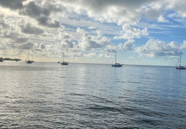
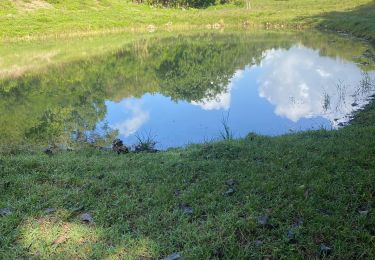
Un prétexte de balade pour suivre les runner. On longe la plage, on contourne la mangrove, on suit la pointe, on longe la plage, on longe la plage, on … plonge, on s’immerge dans une eau envoûtante….


Pfad
Pfad
Pfad
Pfad
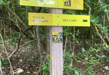
Wandern