


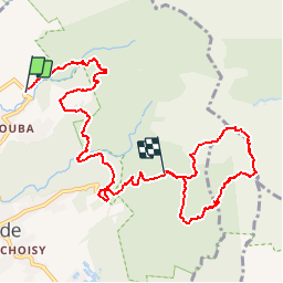

17,3 km | 37 km-effort


Benutzer


Kostenlosegpshiking-Anwendung
 SityTrail
IGN / Geografische Institute
SityTrail World
Die Welt öffnet sich für Sie
Tour Wandern von 14,6 km verfügbar auf Guadeloupe, Unbekannt, Saint-Claude. Diese Tour wird von tracegps vorgeschlagen.
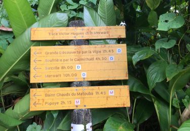
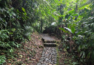
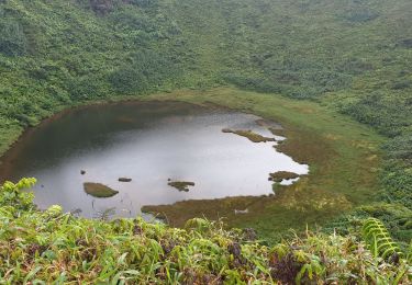
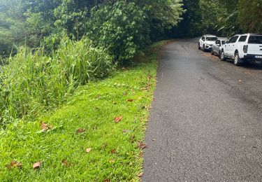
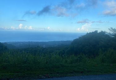
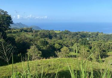
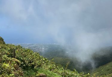
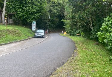
Parcours sympathique qui se situe autour de la Soufrière... marche rapide 3H45, promenade environ 6H. La première partie est en forêt traversée de rivières, surplomb cascade, la seconde contournement de la Soufrière, partie la plus dure en dénivelé!


Andere Aktivitäten
Wandern
Wandern

Wandern
Pfad
Pfad
Pfad
Wandern
Pfad
ok