


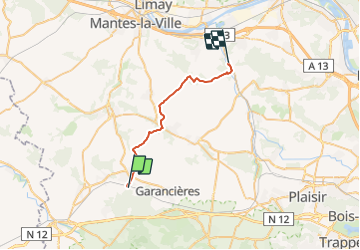

19,6 km | 22 km-effort

Benutzer


Kostenlosegpshiking-Anwendung
 SityTrail
IGN / Geografische Institute
SityTrail World
Die Welt öffnet sich für Sie
Tour Wandern von 22 km verfügbar auf Île-de-France, Yvelines, Orgerus. Diese Tour wird von tracegps vorgeschlagen.
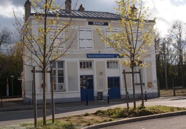
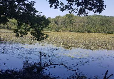
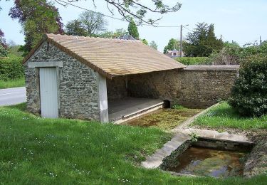
Départ gare d'Orgerus, arrivée gare de Nezel Aulnay. De la rivière La Flexanville, on parcourt le plateau du Mantois avant de rejoindre la vallée de la Mauldre.


Mountainbike
Wandern
Wandern
Wandern

Wandern
Wandern

Mountainbike
Wandern