


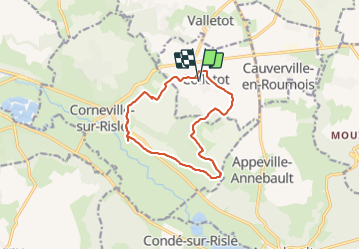


14 km | 16,4 km-effort


Benutzer


Kostenlosegpshiking-Anwendung
 SityTrail
IGN / Geografische Institute
SityTrail World
Die Welt öffnet sich für Sie
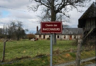
Tour Wandern von 11,3 km verfügbar auf Normandie, Eure, Colletot. Diese Tour wird von MichelRando7656 vorgeschlagen.
Quelques petites routes de campagne pour les traversées de village. Beaucoup de chemins forestiers et de campagne. Beau temps pour la promenade. A découvrir ou redécouvrir.


Wandern
Wandern
Wandern
Wandern

Wandern

Wandern
Wandern
Wandern