


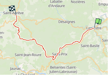

17,7 km | 26 km-effort


Benutzer


Kostenlosegpshiking-Anwendung
 SityTrail
IGN / Geografische Institute
SityTrail World
Die Welt öffnet sich für Sie
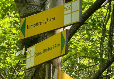
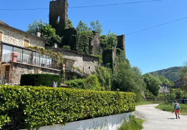
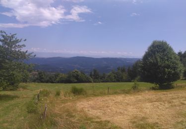
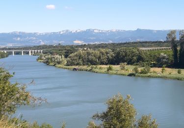
Tour Wandern von 27 km verfügbar auf Auvergne-Rhone-Alpen, Ardèche, Lamastre. Diese Tour wird von pol7 vorgeschlagen.
Départ sur la Dolce Via , puis des Nonières aux Barraques belle grimpette. Bel entrainement et paysages très variés.

sport
sport

Wandern

Wandern
Wandern
Wandern
Wandern

Reiten
Elektrofahrrad