


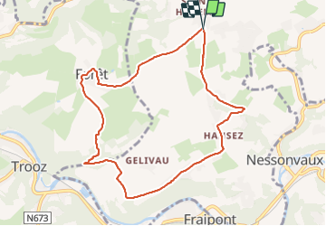


13,4 km | 17,5 km-effort

Benutzer


Kostenlosegpshiking-Anwendung
 SityTrail
IGN / Geografische Institute
SityTrail World
Die Welt öffnet sich für Sie
Tour Wandern von 8,4 km verfügbar auf Wallonien, Lüttich, Olne. Diese Tour wird von Bob4800 vorgeschlagen.
Belle balade avec de magnifiques paysages mais aussi beaucoup de montées assez arrides. Température fraîche mais sous un beau soleil.


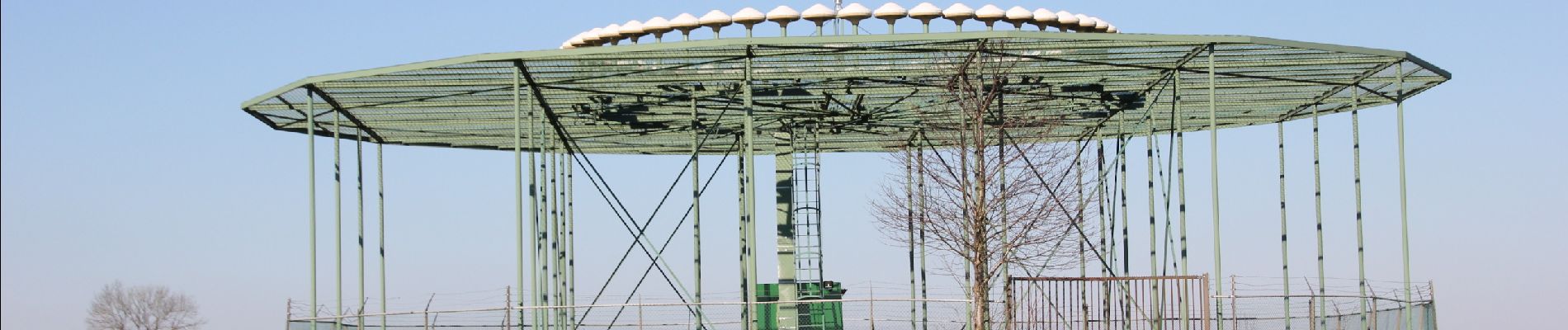
29 Fotos insgesamt. Klicken Sie auf ein Foto, um sie alle in der Galerie zu sehen.

Wandern


Wandern

Wandern

Wandern

Wandern

Wandern

Wandern

Wandern