


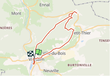


11,6 km | 15,6 km-effort

Benutzer


Kostenlosegpshiking-Anwendung
 SityTrail
IGN / Geografische Institute
SityTrail World
Die Welt öffnet sich für Sie
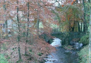
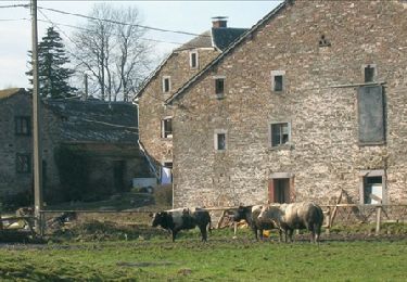
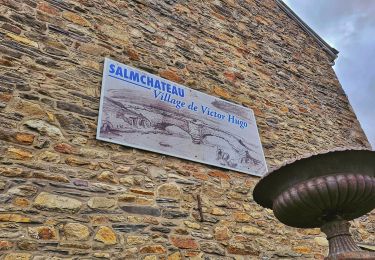
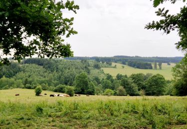
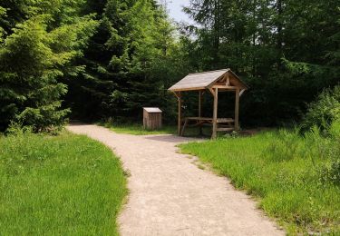
Tour Wandern von 14,4 km verfügbar auf Wallonien, Luxemburg, Vielsalm. Diese Tour wird von emileverschueren vorgeschlagen.
Nous nous sommes inspirés en partie de la balade de monsieur Desrulaux


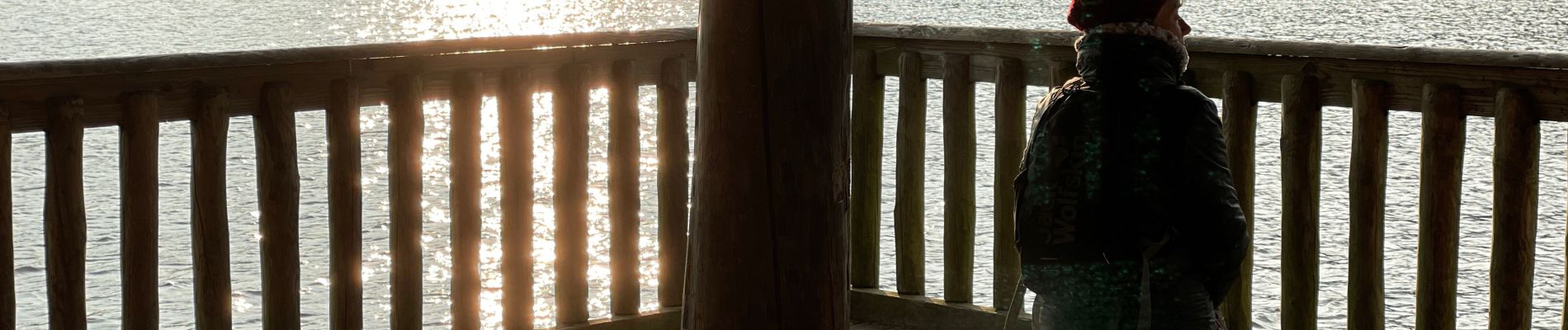
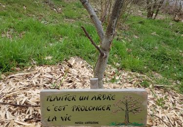
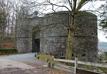
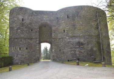
22 Fotos insgesamt. Klicken Sie auf ein Foto, um sie alle in der Galerie zu sehen.
Wandern
Wandern
Wandern
Wandern

Mountainbike
Wandern
Wandern
Wandern
Wandern