


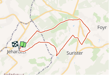

6,8 km | 9,1 km-effort

Benutzer


Kostenlosegpshiking-Anwendung
 SityTrail
IGN / Geografische Institute
SityTrail World
Die Welt öffnet sich für Sie
Tour Wandern von 8,1 km verfügbar auf Wallonien, Lüttich, Theux. Diese Tour wird von Bob4800 vorgeschlagen.
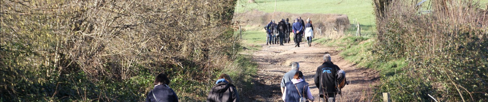
Belle balade d'environ 8 km sous le soleil avec le sympathique groupe des Bios et pratiquement sans boue. Cela nous change de toutes les précédentes !


Wandern

Wandern

Wandern

Wandern

Wandern

Wandern

Wandern

Wandern

Laufen