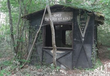
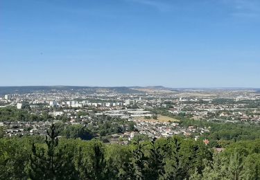
7,9 km | 9,4 km-effort
Chaligny
topnature !
Benutzer
Länge
18,9 km
Maximale Höhe
420 m
Positive Höhendifferenz
423 m
Km-Effort
25 km
Min. Höhe
239 m
Negative Höhendifferenz
454 m
Boucle
Nein
Erstellungsdatum :
2022-02-24 12:22:24.0
Letzte Änderung :
2022-02-24 18:09:17.642
5h45
Schwierigkeit : Sehr schwierig
Kostenlosegpshiking-Anwendung
Über SityTrail
Tour Wandern von 18,9 km verfügbar auf Großer Osten, Mörthe und Mosel, Ludres. Diese Tour wird von topnature ! vorgeschlagen.
Beschreibung
Autour du Val Fleuriot
Ort
Land:
France
Region :
Großer Osten
Abteilung/Provinz :
Mörthe und Mosel
Kommune :
Ludres
Standort:
Unknown
Gehen Sie:(Dec)
Gehen Sie:(UTM)
291186 ; 5389079 (32U) N.
Kommentare
Touren in der Umgebung
Fléville-devant-Nancy et son château
Zu Fuß
Einfach
Fléville-devant-Nancy,
Großer Osten,
Mörthe und Mosel,
France
2h 8min
Ja
tour dd moselle
Elektrofahrrad
Sehr leicht
(1)
Fléville-devant-Nancy,
Großer Osten,
Mörthe und Mosel,
France
45 km | 55 km-effort
3h 0min
Ja
Ludres
sport
Sehr leicht
Ludres,
Großer Osten,
Mörthe und Mosel,
France
11,6 km | 14,9 km-effort
Unbekannt
Ja
SityTrail - Marche gourmande 11km
Wandern
Schwierig
(2)
Ludres,
Großer Osten,
Mörthe und Mosel,
France
10,4 km | 12,1 km-effort
2h 45min
Ja
Randonnée USEP 2023
Wandern
Schwierig
(1)
Vandœuvre-lès-Nancy,
Großer Osten,
Mörthe und Mosel,
France
11,7 km | 15,2 km-effort
3h 27min
Nein
marche nuit
Wandern
Medium
Ludres,
Großer Osten,
Mörthe und Mosel,
France
8,7 km | 10,1 km-effort
2h 11min
Ja
RANDO DUO AVEC ALEXIS
Wandern
Schwierig
(1)
Villers-lès-Nancy,
Großer Osten,
Mörthe und Mosel,
France
38 km | 45 km-effort
10h 19min
Nein
Randonnée Ludres la mine la maison Patrick et Nini
Nordic Walking
Einfach
Ludres,
Großer Osten,
Mörthe und Mosel,
France
6,7 km | 8,4 km-effort
1h 48min
Nein
Randonnée Ludres Belvédère
Nordic Walking
Einfach
Ludres,
Großer Osten,
Mörthe und Mosel,
France
6,7 km | 8 km-effort
1h 44min
Ja