


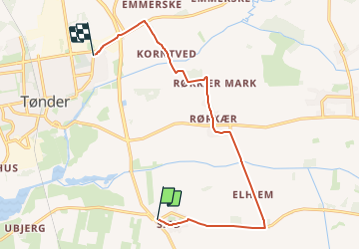

16,6 km | 17,5 km-effort

Tous les sentiers balisés d’Europe GUIDE+


Kostenlosegpshiking-Anwendung
 SityTrail
IGN / Geografische Institute
SityTrail World
Die Welt öffnet sich für Sie
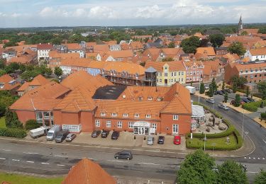
Tour Zu Fuß von 9,8 km verfügbar auf Region Süddänemark. Diese Tour wird von SityTrail - itinéraires balisés pédestres vorgeschlagen.
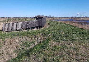
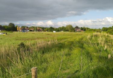
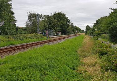
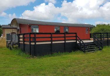
På Tønderstierne er der motion og oplevelser for alle, uanset om du er stor eller lille, – til bens eller på cykel. Alle ruter starter og slutter på Torv...
Website: https://www.toenderstier.dk/


Zu Fuß
Zu Fuß
Zu Fuß
Zu Fuß
Zu Fuß
Zu Fuß
Zu Fuß
Zu Fuß