![](/images/other/stat-length.png)
![Tour Zu Fuß Unbekannt - K+ (Remete-hegyi-nyereg - Mátyás-hegy - Katinyi mártírok parkja, vill. mh.) - Photo](https://media.geolcdn.com/t/1900/400/7720cb0e-1d48-4e2c-b2bf-928cdb5a44d5.jpeg&format=pjpeg&maxdim=2)
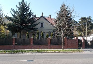
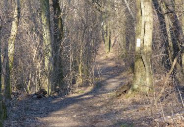
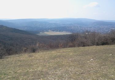
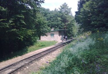
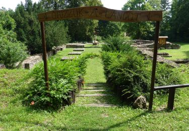
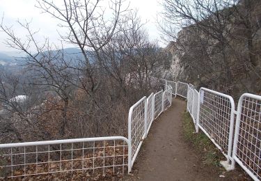
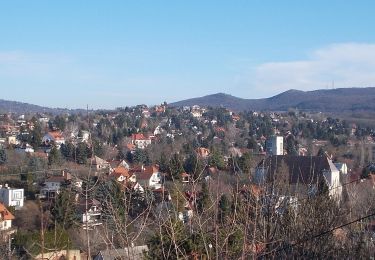
K+ (Remete-hegyi-nyereg - Mátyás-hegy - Katinyi mártírok parkja, vill. mh.)
SityTrail - itinéraires balisés pédestres
Tous les sentiers balisés d’Europe GUIDE+
![Länge](/images/other/stat-length.png)
Länge
3,1 km
![Maximale Höhe](https://static1.geolcdn.com/siteimages/upload/files/1508320355ic_sort_altitude_max_24dp.png)
Maximale Höhe
338 m
![Positive Höhendifferenz](https://static1.geolcdn.com/siteimages/upload/files/1508320355ic_sort_den_pos_24dp.png)
Positive Höhendifferenz
32 m
![Km-Effort](/images/other/stat-length.png)
Km-Effort
4,2 km
![Min. Höhe](https://static1.geolcdn.com/siteimages/upload/files/1508320355ic_sort_altitude_min_24dp.png)
Min. Höhe
110 m
![Negative Höhendifferenz](https://static1.geolcdn.com/siteimages/upload/files/1508320355ic_sort_den_neg_24dp.png)
Negative Höhendifferenz
253 m
![Boucle](https://static1.geolcdn.com/siteimages/upload/files/16400158638029165_repeat_loop_refresh_sync_direction_icon.png)
Boucle
Nein
Kennzeichnung
Erstellungsdatum :
2022-02-21 10:25:20.593
Letzte Änderung :
2022-03-08 19:27:42.959
![Zu Fuß](https://static1.geolcdn.com/sitytour/trail-icons/100.png)
57m
Schwierigkeit : Einfach
![Scannen Sie diesen QR-Code, um die Tour in der SityTrail-Anwendung zu öffnen](https://capi.geolives.com/qq0zvz2zws4bq2lad0pu/sitytour/trails/3138318/qr.png?size=200)
Kostenlosegpshiking-Anwendung
Über SityTrail
Tour Zu Fuß von 3,1 km verfügbar auf Mittelungarn, Budapest, Unbekannt. Diese Tour wird von SityTrail - itinéraires balisés pédestres vorgeschlagen.
Beschreibung
Trail created by BTSSZ.
Ort
Land:
Hungary
Region :
Mittelungarn
Abteilung/Provinz :
Budapest
Kommune :
Unbekannt
Standort:
II. Bezirk
Gehen Sie:(Dec)
Gehen Sie:(UTM)
350320 ; 5267298 (34T) N.
Kommentare
Touren in der Umgebung
![Tour Zu Fuß Unbekannt - Normafa Kardioösvény (Normafa - János-hegy - Normafa) - Photo](https://media.geolcdn.com/t/375/260/a210dd18-a33c-4463-a3e0-26216e4297bb.jpeg&format=jpg&maxdim=2)
![Zu Fuß Zu Fuß](https://static1.geolcdn.com/sitytour/trail-icons/100.png)
Normafa Kardioösvény (Normafa - János-hegy - Normafa)
Zu Fuß
Einfach
Unbekannt,
Mittelungarn,
Budapest,
Hungary
![](/images/other/stat-length.png)
3 km | 3,6 km-effort
49min
![](https://static1.geolcdn.com/siteimages/upload/files/16400158638029165_repeat_loop_refresh_sync_direction_icon.png)
Nein
![Tour Zu Fuß Unbekannt - Hárs-hegyi tanösvény (Szent Ferenc Kórház - Szépjuhászné - Szent Ferenc Kórház) - Photo](https://media.geolcdn.com/t/375/260/ef274c3a-3838-46c3-be36-1bb2cf221eb5.jpeg&format=jpg&maxdim=2)
![Zu Fuß Zu Fuß](https://static1.geolcdn.com/sitytour/trail-icons/100.png)
Hárs-hegyi tanösvény (Szent Ferenc Kórház - Szépjuhászné - Szent Ferenc Kórház)
Zu Fuß
Einfach
Unbekannt,
Mittelungarn,
Budapest,
Hungary
![](/images/other/stat-length.png)
4,7 km | 6,8 km-effort
1h 32min
![](https://static1.geolcdn.com/siteimages/upload/files/16400158638029165_repeat_loop_refresh_sync_direction_icon.png)
Nein
![Tour Zu Fuß Unbekannt - K+ (Remete-hegyi-tisztás - Pesthidegkút - Erdőalja út, aut. vá.) - Photo](https://media.geolcdn.com/t/375/260/09b4d7d6-c1e8-4d03-be0a-4b331799e9c0.jpeg&format=jpg&maxdim=2)
![Zu Fuß Zu Fuß](https://static1.geolcdn.com/sitytour/trail-icons/100.png)
K+ (Remete-hegyi-tisztás - Pesthidegkút - Erdőalja út, aut. vá.)
Zu Fuß
Einfach
Unbekannt,
Mittelungarn,
Budapest,
Hungary
![](/images/other/stat-length.png)
9 km | 12,5 km-effort
2h 50min
![](https://static1.geolcdn.com/siteimages/upload/files/16400158638029165_repeat_loop_refresh_sync_direction_icon.png)
Nein
![Tour Zu Fuß Unbekannt - K↺ (Felső-Szép-völgy, autóparkoló - Hármashatár-hegy - Felső-Szép-völgy, autóparkoló) - Photo](https://media.geolcdn.com/t/375/260/4a452529-679a-43e8-af0b-f1183be3b503.jpeg&format=jpg&maxdim=2)
![Zu Fuß Zu Fuß](https://static1.geolcdn.com/sitytour/trail-icons/100.png)
K↺ (Felső-Szép-völgy, autóparkoló - Hármashatár-hegy - Felső-Szép-völgy, autó...
Zu Fuß
Einfach
Unbekannt,
Mittelungarn,
Budapest,
Hungary
![](/images/other/stat-length.png)
3,1 km | 4,7 km-effort
1h 4min
![](https://static1.geolcdn.com/siteimages/upload/files/16400158638029165_repeat_loop_refresh_sync_direction_icon.png)
Ja
![Tour Zu Fuß Unbekannt - K↺ (Normafa, autóparkoló - Hármas-kút-tető - Normafa, autóparkoló) - Photo](https://media.geolcdn.com/t/375/260/3dafd83d-d06e-4529-9ff7-7fab2e22b458.jpeg&format=jpg&maxdim=2)
![Zu Fuß Zu Fuß](https://static1.geolcdn.com/sitytour/trail-icons/100.png)
K↺ (Normafa, autóparkoló - Hármas-kút-tető - Normafa, autóparkoló)
Zu Fuß
Einfach
Unbekannt,
Mittelungarn,
Budapest,
Hungary
![](/images/other/stat-length.png)
4,5 km | 5,7 km-effort
1h 17min
![](https://static1.geolcdn.com/siteimages/upload/files/16400158638029165_repeat_loop_refresh_sync_direction_icon.png)
Ja
![Tour Zu Fuß Unbekannt - ZC (Tündér szikla) - Photo](https://media.geolcdn.com/t/375/260/bb19a74b-6de2-4277-9910-07cb7caaf6ae.jpeg&format=jpg&maxdim=2)
![Zu Fuß Zu Fuß](https://static1.geolcdn.com/sitytour/trail-icons/100.png)
ZC (Tündér szikla)
Zu Fuß
Einfach
Unbekannt,
Mittelungarn,
Budapest,
Hungary
![](/images/other/stat-length.png)
3,3 km | 4,9 km-effort
1h 7min
![](https://static1.geolcdn.com/siteimages/upload/files/16400158638029165_repeat_loop_refresh_sync_direction_icon.png)
Ja
![Tour Zu Fuß Unbekannt - Z▲ (Nagybányai lépcső - Ferenc-hegy - Kavics utca, vill. mh.) - Photo](https://media.geolcdn.com/t/375/260/36de676e-5ae4-454d-b73e-02c6dbaa002a.jpeg&format=jpg&maxdim=2)
![Zu Fuß Zu Fuß](https://static1.geolcdn.com/sitytour/trail-icons/100.png)
Z▲ (Nagybányai lépcső - Ferenc-hegy - Kavics utca, vill. mh.)
Zu Fuß
Einfach
Unbekannt,
Mittelungarn,
Budapest,
Hungary
![](/images/other/stat-length.png)
5,4 km | 7,6 km-effort
1h 42min
![](https://static1.geolcdn.com/siteimages/upload/files/16400158638029165_repeat_loop_refresh_sync_direction_icon.png)
Nein
![Tour Zu Fuß Unbekannt - Z↺ (Görgényi út, autóparkoló - Árpád-kilátó - Görgényi út, autóparkoló) - Photo](https://media.geolcdn.com/t/375/260/14c514d4-2150-4bd8-a80a-5306e175e48e.jpeg&format=jpg&maxdim=2)
![Zu Fuß Zu Fuß](https://static1.geolcdn.com/sitytour/trail-icons/100.png)
Z↺ (Görgényi út, autóparkoló - Árpád-kilátó - Görgényi út, autóparkoló)
Zu Fuß
Einfach
Unbekannt,
Mittelungarn,
Budapest,
Hungary
![](/images/other/stat-length.png)
4,2 km | 6,2 km-effort
1h 24min
![](https://static1.geolcdn.com/siteimages/upload/files/16400158638029165_repeat_loop_refresh_sync_direction_icon.png)
Ja
![Tour Zu Fuß Unbekannt - S↺ (Hűvösvölgy - Nagy-rét - Hűvösvölgy) - Photo](https://media.geolcdn.com/t/375/260/cb771ffa-e22a-4605-aa71-d5d0a1e8219d.jpeg&format=jpg&maxdim=2)
![Zu Fuß Zu Fuß](https://static1.geolcdn.com/sitytour/trail-icons/100.png)
S↺ (Hűvösvölgy - Nagy-rét - Hűvösvölgy)
Zu Fuß
Einfach
Unbekannt,
Mittelungarn,
Budapest,
Hungary
![](/images/other/stat-length.png)
3,1 km | 4,1 km-effort
55min
![](https://static1.geolcdn.com/siteimages/upload/files/16400158638029165_repeat_loop_refresh_sync_direction_icon.png)
Ja