


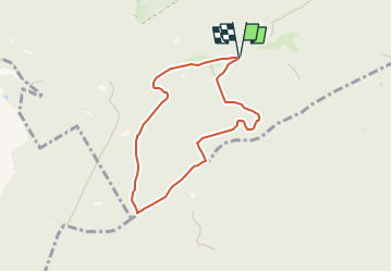

3,5 km | 4,7 km-effort


Tous les sentiers balisés d’Europe GUIDE+


Kostenlosegpshiking-Anwendung
 SityTrail
IGN / Geografische Institute
SityTrail World
Die Welt öffnet sich für Sie
Tour Zu Fuß von 6 km verfügbar auf Hessen, Wetteraukreis, Ober-Mörlen. Diese Tour wird von SityTrail - itinéraires balisés pédestres vorgeschlagen.
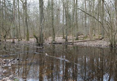
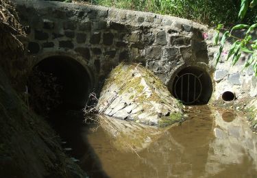
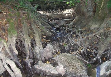
Das Wildkatzen-Walderlebnis: Der Erlebnispfad am Winterstein (Hochtaunus). Auf 7 Kilometer geht es gut 150 Höhenmeter hinauf und hinunter; mit Audio-Guide
Website: http://www.bund-hessen.de/themen_und_projekte/natur_und_artenschutz/rettungsnetz_wildkatze/wildkatzen_walderlebnis/
Zu Fuß
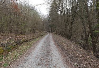
Zu Fuß

Zu Fuß
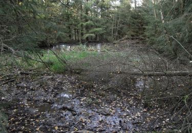
Zu Fuß
Zu Fuß
Zu Fuß
Zu Fuß