


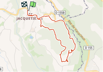

11,4 km | 17,4 km-effort

Benutzer


Kostenlosegpshiking-Anwendung
 SityTrail
IGN / Geografische Institute
SityTrail World
Die Welt öffnet sich für Sie
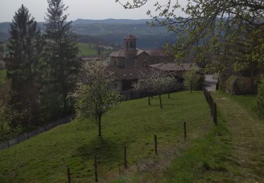
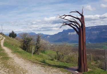
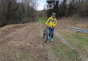
Tour Wandern von 5,1 km verfügbar auf Auvergne-Rhone-Alpen, Isère, Varacieux. Diese Tour wird von crocau vorgeschlagen.
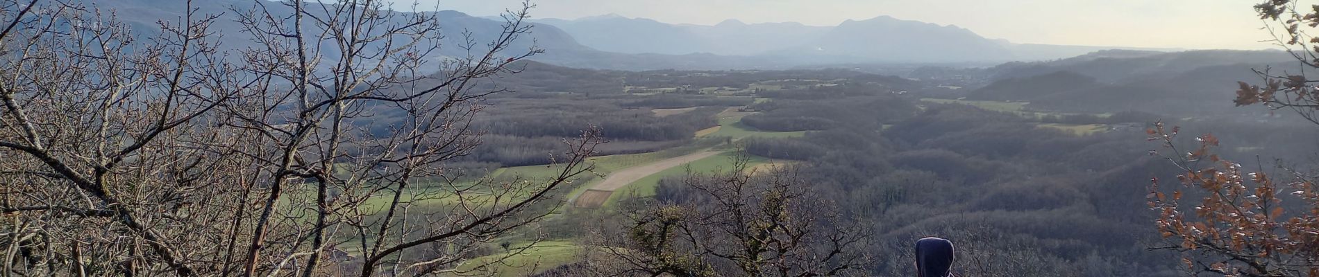
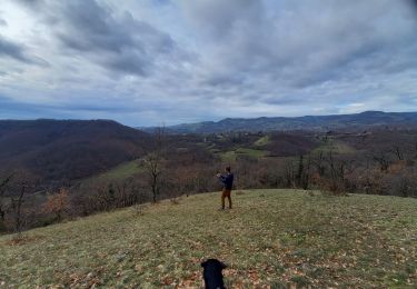
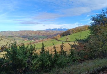
Rando sauvage qui emprunte très peu les chemins officiels mais permet d'atteindre le sommet du Mollard D'Essemat avec sa vue imprenable .


Wandern
Wandern
Mountainbike
Wandern
Wandern
Wandern
Mountainbike
Wandern
Mountainbike