


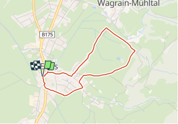

9,8 km | 12,7 km-effort

Tous les sentiers balisés d’Europe GUIDE+


Kostenlosegpshiking-Anwendung
 SityTrail
IGN / Geografische Institute
SityTrail World
Die Welt öffnet sich für Sie
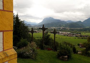
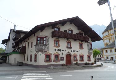
Tour Zu Fuß von 3,4 km verfügbar auf Tirol, Bezirk Kufstein, Gemeinde Ebbs. Diese Tour wird von SityTrail - itinéraires balisés pédestres vorgeschlagen.
Trail created by Kufsteinerland.
Symbol: Weiße Schilder mit Richtungspfeil und hellgrünem Streifen mit dem Namen "Dorf-Runde"


Zu Fuß
Zu Fuß
Zu Fuß
Zu Fuß
Zu Fuß
Zu Fuß
Zu Fuß

Zu Fuß
Zu Fuß