


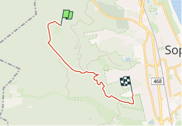

3,3 km | 4,3 km-effort


Tous les sentiers balisés d’Europe GUIDE+


Kostenlosegpshiking-Anwendung
 SityTrail
IGN / Geografische Institute
SityTrail World
Die Welt öffnet sich für Sie
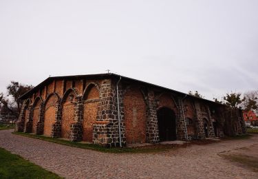
Tour Zu Fuß von 3,9 km verfügbar auf Woiwodschaft Pommern, Zoppot. Diese Tour wird von SityTrail - itinéraires balisés pédestres vorgeschlagen.
Trail created by PTTK Sopot.
Website: http://sopot.pttk.pl/szlaki-spacerowe/wiewiorek/


Zu Fuß

Zu Fuß
Zu Fuß
Zu Fuß
Zu Fuß

Zu Fuß
Zu Fuß