![](/images/other/stat-length.png)
![Tour Zu Fuß Leonding - Stadtwanderweg Leonding - Photo](https://media.geolcdn.com/t/1900/400/f189d68d-38ea-4941-8054-2e2b8cf0c43d.jpeg&format=pjpeg&maxdim=2)
Stadtwanderweg Leonding
SityTrail - itinéraires balisés pédestres
Tous les sentiers balisés d’Europe GUIDE+
![Länge](/images/other/stat-length.png)
Länge
3,2 km
![Maximale Höhe](https://static1.geolcdn.com/siteimages/upload/files/1508320355ic_sort_altitude_max_24dp.png)
Maximale Höhe
303 m
![Positive Höhendifferenz](https://static1.geolcdn.com/siteimages/upload/files/1508320355ic_sort_den_pos_24dp.png)
Positive Höhendifferenz
46 m
![Km-Effort](/images/other/stat-length.png)
Km-Effort
3,8 km
![Min. Höhe](https://static1.geolcdn.com/siteimages/upload/files/1508320355ic_sort_altitude_min_24dp.png)
Min. Höhe
269 m
![Negative Höhendifferenz](https://static1.geolcdn.com/siteimages/upload/files/1508320355ic_sort_den_neg_24dp.png)
Negative Höhendifferenz
46 m
![Boucle](https://static1.geolcdn.com/siteimages/upload/files/16400158638029165_repeat_loop_refresh_sync_direction_icon.png)
Boucle
Ja
Kennzeichnung
Erstellungsdatum :
2022-02-16 16:11:26.156
Letzte Änderung :
2022-03-03 03:20:06.895
![Zu Fuß](https://static1.geolcdn.com/sitytour/trail-icons/100.png)
52m
Schwierigkeit : Einfach
![Scannen Sie diesen QR-Code, um die Tour in der SityTrail-Anwendung zu öffnen](https://capi.geolives.com/qq0zvz2zws4bq2lad0pu/sitytour/trails/3126289/qr.png?size=200)
Kostenlosegpshiking-Anwendung
Über SityTrail
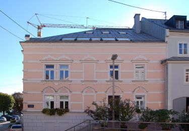
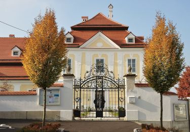
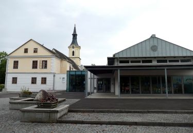
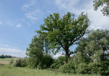
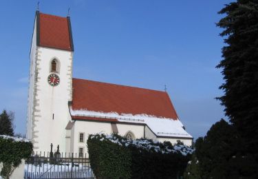
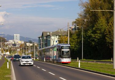
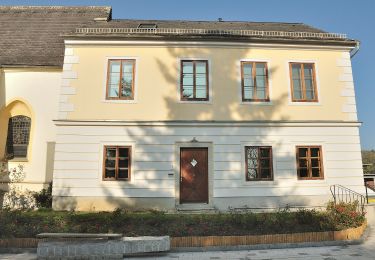
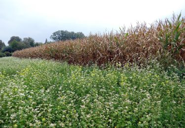
Tour Zu Fuß von 3,2 km verfügbar auf Oberösterreich, Bezirk Linz-Land, Leonding. Diese Tour wird von SityTrail - itinéraires balisés pédestres vorgeschlagen.
Beschreibung
Trail created by Leonding.
Website: https://www.leonding.at/freizeit/erholung/kulturwanderwege/stadtwanderweg/
Ort
Land:
Austria
Region :
Oberösterreich
Abteilung/Provinz :
Bezirk Linz-Land
Kommune :
Leonding
Standort:
Unknown
Gehen Sie:(Dec)
Gehen Sie:(UTM)
444278 ; 5347566 (33U) N.
Kommentare
Touren in der Umgebung
![Tour Zu Fuß - Treppelweg - Photo](https://media.geolcdn.com/t/375/260/f52d64c4-80b0-469f-9cf8-2227055028ed.jpeg&format=jpg&maxdim=2)
![Zu Fuß Zu Fuß](https://static1.geolcdn.com/sitytour/trail-icons/100.png)
![Tour Zu Fuß Wilhering - Sternweg Wilhering-Linde - Photo](https://media.geolcdn.com/t/375/260/3a7c71ae-8fad-4b5f-9e66-e4051e40716a.jpeg&format=jpg&maxdim=2)
![Zu Fuß Zu Fuß](https://static1.geolcdn.com/sitytour/trail-icons/100.png)
Sternweg Wilhering-Linde
Zu Fuß
Einfach
Wilhering,
Oberösterreich,
Bezirk Linz-Land,
Austria
![](/images/other/stat-length.png)
4,8 km | 6,8 km-effort
1h 33min
![](https://static1.geolcdn.com/siteimages/upload/files/16400158638029165_repeat_loop_refresh_sync_direction_icon.png)
Nein
![Tour Zu Fuß Wilhering - Sternweg Dörnbach-Linde - Photo](https://media.geolcdn.com/t/375/260/d408f0be-ce8c-4780-9569-5acfd2f23c15.jpeg&format=jpg&maxdim=2)
![Zu Fuß Zu Fuß](https://static1.geolcdn.com/sitytour/trail-icons/100.png)
Sternweg Dörnbach-Linde
Zu Fuß
Einfach
Wilhering,
Oberösterreich,
Bezirk Linz-Land,
Austria
![](/images/other/stat-length.png)
3,6 km | 4,5 km-effort
1h 1min
![](https://static1.geolcdn.com/siteimages/upload/files/16400158638029165_repeat_loop_refresh_sync_direction_icon.png)
Nein
![Tour Zu Fuß Wilhering - Sternweg Dörnbach-Appersberg - Photo](https://media.geolcdn.com/t/375/260/05202317-a8d4-41a6-8ca1-b2c980b87377.jpeg&format=jpg&maxdim=2)
![Zu Fuß Zu Fuß](https://static1.geolcdn.com/sitytour/trail-icons/100.png)
Sternweg Dörnbach-Appersberg
Zu Fuß
Einfach
Wilhering,
Oberösterreich,
Bezirk Linz-Land,
Austria
![](/images/other/stat-length.png)
3,6 km | 4,6 km-effort
1h 2min
![](https://static1.geolcdn.com/siteimages/upload/files/16400158638029165_repeat_loop_refresh_sync_direction_icon.png)
Ja
![Tour Zu Fuß Pasching - Pasching Süd - Photo](https://media.geolcdn.com/t/375/260/3fd0285b-5d54-4ff2-b800-835877837a71.jpeg&format=jpg&maxdim=2)
![Zu Fuß Zu Fuß](https://static1.geolcdn.com/sitytour/trail-icons/100.png)
Pasching Süd
Zu Fuß
Einfach
Pasching,
Oberösterreich,
Bezirk Linz-Land,
Austria
![](/images/other/stat-length.png)
9,2 km | 10,1 km-effort
2h 17min
![](https://static1.geolcdn.com/siteimages/upload/files/16400158638029165_repeat_loop_refresh_sync_direction_icon.png)
Ja
![Tour Zu Fuß Leonding - Zaubertalrunde - Photo](https://media.geolcdn.com/t/375/260/362dfadb-f1f7-45fc-9bd6-a2aa5cac1847.jpeg&format=jpg&maxdim=2)
![Zu Fuß Zu Fuß](https://static1.geolcdn.com/sitytour/trail-icons/100.png)
Zaubertalrunde
Zu Fuß
Einfach
Leonding,
Oberösterreich,
Bezirk Linz-Land,
Austria
![](/images/other/stat-length.png)
12,5 km | 15,7 km-effort
3h 34min
![](https://static1.geolcdn.com/siteimages/upload/files/16400158638029165_repeat_loop_refresh_sync_direction_icon.png)
Ja
![Tour Zu Fuß Leonding - Kürnberg-Wanderweg - Photo](https://media.geolcdn.com/t/375/260/f90b39b8-fab6-4bec-ac38-bb365b0dd04e.jpeg&format=jpg&maxdim=2)
![Zu Fuß Zu Fuß](https://static1.geolcdn.com/sitytour/trail-icons/100.png)
Kürnberg-Wanderweg
Zu Fuß
Einfach
Leonding,
Oberösterreich,
Bezirk Linz-Land,
Austria
![](/images/other/stat-length.png)
5,1 km | 6,7 km-effort
1h 31min
![](https://static1.geolcdn.com/siteimages/upload/files/16400158638029165_repeat_loop_refresh_sync_direction_icon.png)
Ja
![Tour Zu Fuß Leonding - AT-2 - Photo](https://media.geolcdn.com/t/375/260/05202317-a8d4-41a6-8ca1-b2c980b87377.jpeg&format=jpg&maxdim=2)
![Zu Fuß Zu Fuß](https://static1.geolcdn.com/sitytour/trail-icons/100.png)
AT-2
Zu Fuß
Einfach
Leonding,
Oberösterreich,
Bezirk Linz-Land,
Austria
![](/images/other/stat-length.png)
3,4 km | 4,2 km-effort
57min
![](https://static1.geolcdn.com/siteimages/upload/files/16400158638029165_repeat_loop_refresh_sync_direction_icon.png)
Nein
![Tour Zu Fuß Leonding - Kürnbergrunde - Photo](https://media.geolcdn.com/t/375/260/04a4a75c-6b8b-4c91-8f6b-0acbe9b667e6.jpeg&format=jpg&maxdim=2)
![Zu Fuß Zu Fuß](https://static1.geolcdn.com/sitytour/trail-icons/100.png)
Kürnbergrunde
Zu Fuß
Einfach
Leonding,
Oberösterreich,
Bezirk Linz-Land,
Austria
![](/images/other/stat-length.png)
8,1 km | 9,1 km-effort
2h 4min
![](https://static1.geolcdn.com/siteimages/upload/files/16400158638029165_repeat_loop_refresh_sync_direction_icon.png)
Nein