


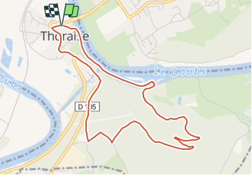

7,2 km | 9,4 km-effort

Tous les sentiers balisés d’Europe GUIDE+


Kostenlosegpshiking-Anwendung
 SityTrail
IGN / Geografische Institute
SityTrail World
Die Welt öffnet sich für Sie
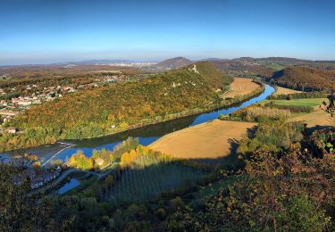
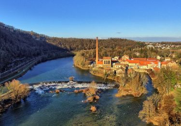
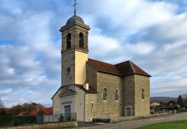
Tour Zu Fuß von 5,2 km verfügbar auf Burgund und Freigrafschaft, Doubs, Thoraise. Diese Tour wird von SityTrail - itinéraires balisés pédestres vorgeschlagen.
Trail created by Grand Besançon.


Zu Fuß
Zu Fuß
Zu Fuß
Zu Fuß
Zu Fuß
Zu Fuß
Mountainbike
Zu Fuß
Wandern