


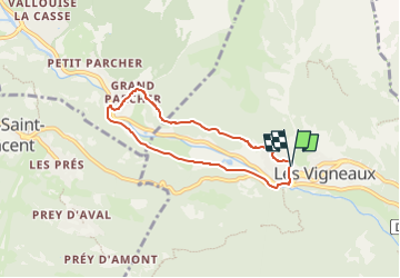

6 km | 10,4 km-effort

Tous les sentiers balisés d’Europe GUIDE+


Kostenlosegpshiking-Anwendung
 SityTrail
IGN / Geografische Institute
SityTrail World
Die Welt öffnet sich für Sie
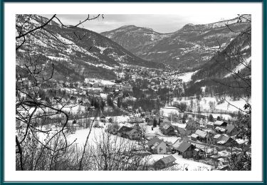
Tour Zu Fuß von 5,8 km verfügbar auf Provence-Alpes-Côte d'Azur, Hochalpen, Les Vigneaux. Diese Tour wird von SityTrail - itinéraires balisés pédestres vorgeschlagen.
Trail created by Communauté de communes du Pays des Ecrins.


Wandern

Wandern
Pfad
Zu Fuß
Zu Fuß

Zu Fuß
Zu Fuß

Schneeschuhwandern

Wandern