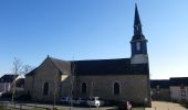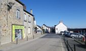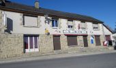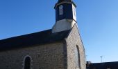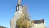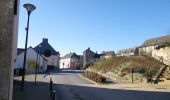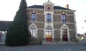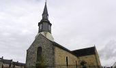

La Fosse du Loup
SityTrail - itinéraires balisés pédestres
Tous les sentiers balisés d’Europe GUIDE+

Länge
18,3 km

Maximale Höhe
122 m

Positive Höhendifferenz
228 m

Km-Effort
21 km

Min. Höhe
54 m

Negative Höhendifferenz
227 m
Boucle
Ja
Kennzeichnung
Erstellungsdatum :
2022-02-15 19:22:43.306
Letzte Änderung :
2022-03-02 23:50:48.607
4h51
Schwierigkeit : Medium

Kostenlosegpshiking-Anwendung
Über SityTrail
Tour Zu Fuß von 18,3 km verfügbar auf Bretagne, Ille-et-Vilaine, Montreuil-le-Gast. Diese Tour wird von SityTrail - itinéraires balisés pédestres vorgeschlagen.
Beschreibung
Trail created by Val d'Ille - Aubigné Communauté.
Ort
Land:
France
Region :
Bretagne
Abteilung/Provinz :
Ille-et-Vilaine
Kommune :
Montreuil-le-Gast
Standort:
Unknown
Gehen Sie:(Dec)
Gehen Sie:(UTM)
594355 ; 5344705 (30U) N.
Kommentare
Touren in der Umgebung
Sentier du Bois de Cranne - Saint-Médard-sur-Ille


Mountainbike
Einfach
(1)
Saint-Médard-sur-Ille,
Bretagne,
Ille-et-Vilaine,
France

14,6 km | 16,9 km-effort
1h 19min
Ja
Sentier des Melessiens


Zu Fuß
Einfach
Melesse,
Bretagne,
Ille-et-Vilaine,
France

8,5 km | 9,6 km-effort
2h 10min
Ja
Le Bois de Cranne


Zu Fuß
Einfach
Saint-Médard-sur-Ille,
Bretagne,
Ille-et-Vilaine,
France

14,4 km | 16,6 km-effort
3h 45min
Ja
Circuit de La Rivière


Zu Fuß
Einfach
La Mézière,
Bretagne,
Ille-et-Vilaine,
France

9,1 km | 10,6 km-effort
2h 24min
Ja
Circuit du Cheval Blanc


Zu Fuß
Einfach
Gévezé,
Bretagne,
Ille-et-Vilaine,
France

3,6 km | 4,1 km-effort
55min
Ja
Sentier de la Chaussée


Zu Fuß
Einfach
Gévezé,
Bretagne,
Ille-et-Vilaine,
France

14,6 km | 16,1 km-effort
3h 39min
Ja
Sentier de Montgerval


Zu Fuß
Einfach
La Mézière,
Bretagne,
Ille-et-Vilaine,
France

11 km | 12,3 km-effort
2h 47min
Ja
Circuit du Moulin de la Moltais


Zu Fuß
Einfach
Gévezé,
Bretagne,
Ille-et-Vilaine,
France

7,8 km | 9,1 km-effort
2h 3min
Ja
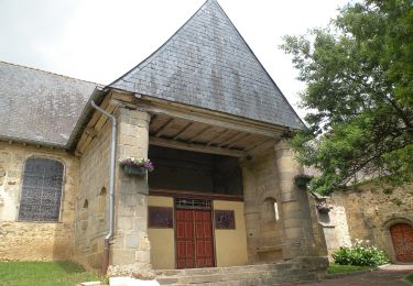
Circuit de la Motte Marcillé


Zu Fuß
Einfach
Gévezé,
Bretagne,
Ille-et-Vilaine,
France

6 km | 7,1 km-effort
1h 36min
Nein


 SityTrail


