


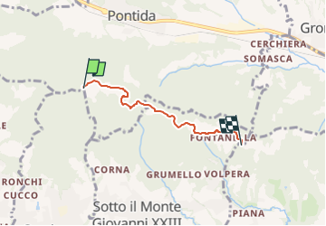

3,6 km | 5,1 km-effort

Tous les sentiers balisés d’Europe GUIDE+


Kostenlosegpshiking-Anwendung
 SityTrail
IGN / Geografische Institute
SityTrail World
Die Welt öffnet sich für Sie
Tour Zu Fuß von 3,4 km verfügbar auf Lombardei, Bergamo, Pontida. Diese Tour wird von SityTrail - itinéraires balisés pédestres vorgeschlagen.
Essendo il SENTIERO n° 891 piuttosto lungo (14 km), si consiglia di percorrerlo in 2 TAPPE a scelta:
Website: http://geoportale.caibergamo.it/it/sentiero/891
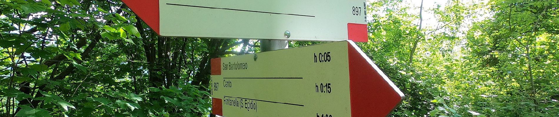
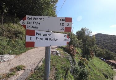
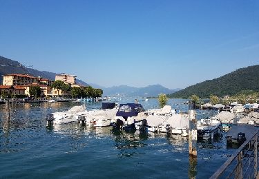
 - Photo 1")
 - Photo 2")
 - Photo 3")
 - Photo 4")
 - Photo 5")
Zu Fuß
Fahrrad