


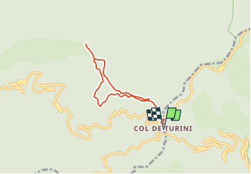

14,5 km | 25 km-effort

Tous les sentiers balisés d’Europe GUIDE+


Kostenlosegpshiking-Anwendung
 SityTrail
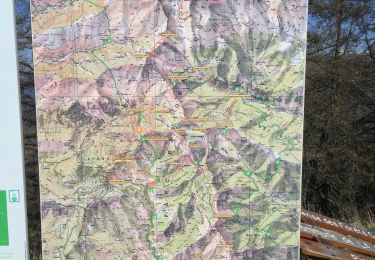
IGN / Geografische Institute
SityTrail World
Die Welt öffnet sich für Sie
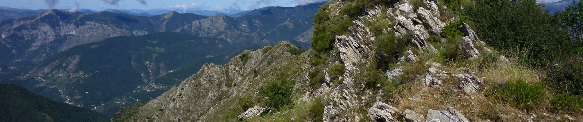
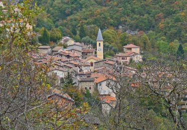
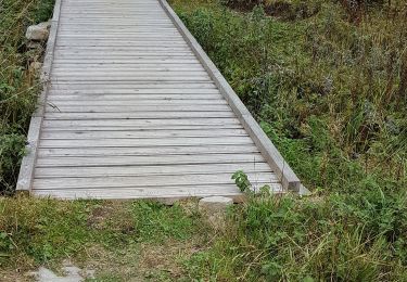
Tour Zu Fuß von 6,5 km verfügbar auf Provence-Alpes-Côte d'Azur, Seealpen, Moulinet. Diese Tour wird von SityTrail - itinéraires balisés pédestres vorgeschlagen.
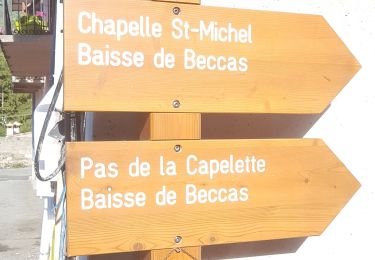
Randonnée pédestre - Haut pays : Au départ du col de Turini (1 604 mètres)
Website: https://randoxygene.departement06.fr/haute-vesubie/cretes-de-l-arpiha-9196.html


Wandern

Zu Fuß
Zu Fuß
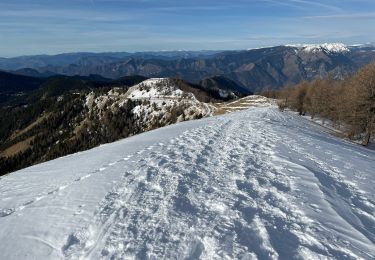
Schneeschuhwandern
Wandern
Zu Fuß

Wandern
Wandern
Wandern