


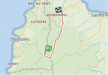

3,3 km | 5,5 km-effort


Tous les sentiers balisés d’Europe GUIDE+


Kostenlosegpshiking-Anwendung
 SityTrail
IGN / Geografische Institute
SityTrail World
Die Welt öffnet sich für Sie
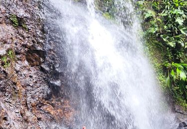
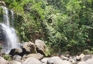
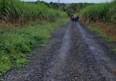
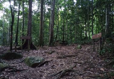
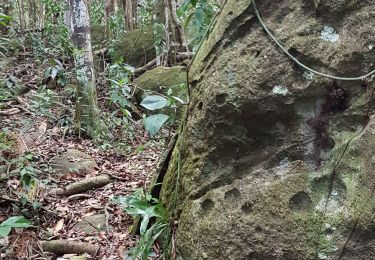
Tour Zu Fuß von 6,6 km verfügbar auf Guadeloupe, Unbekannt, Sainte-Rose. Diese Tour wird von SityTrail - itinéraires balisés pédestres vorgeschlagen.
Trail created by Parc National de la Guadeloupe.
Website: http://www.randoguadeloupe.gp/pedestre/solitude/
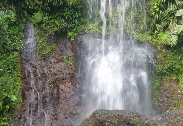
Wandern
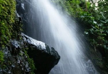
Wandern
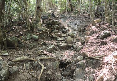
Wandern
Wandern
Wandern
Wandern
Wandern
Wandern