


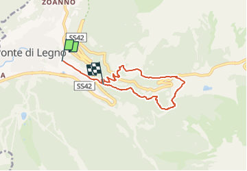

7,9 km | 11,3 km-effort

Tous les sentiers balisés d’Europe GUIDE+


Kostenlosegpshiking-Anwendung
 SityTrail
IGN / Geografische Institute
SityTrail World
Die Welt öffnet sich für Sie
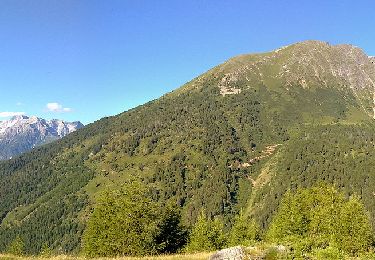
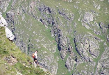
Tour Zu Fuß von 6 km verfügbar auf Lombardei, Brescia, Ponte di Legno. Diese Tour wird von SityTrail - itinéraires balisés pédestres vorgeschlagen.
Symbol: horizontal light blue upper bar and white lower


Zu Fuß
Zu Fuß
Zu Fuß
Zu Fuß
Zu Fuß
Zu Fuß
