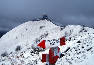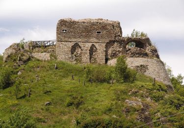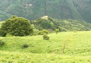

Ottone - Ottone Soprano - Cariseto
SityTrail - itinéraires balisés pédestres
Tous les sentiers balisés d’Europe GUIDE+

Länge
6 km

Maximale Höhe
1075 m

Positive Höhendifferenz
590 m

Km-Effort
12,2 km

Min. Höhe
486 m

Negative Höhendifferenz
99 m
Boucle
Nein
Kennzeichnung
Erstellungsdatum :
2022-02-15 17:24:05.528
Letzte Änderung :
2022-03-01 20:48:00.402
2h46
Schwierigkeit : Einfach

Kostenlosegpshiking-Anwendung
Über SityTrail
Tour Zu Fuß von 6 km verfügbar auf Emilia-Romagna, Piacenza, Ottone. Diese Tour wird von SityTrail - itinéraires balisés pédestres vorgeschlagen.
Beschreibung
Symbol: 133 on white red flags
Ort
Land:
Italy
Region :
Emilia-Romagna
Abteilung/Provinz :
Piacenza
Kommune :
Ottone
Standort:
Unknown
Gehen Sie:(Dec)
Gehen Sie:(UTM)
526460 ; 4941140 (32T) N.
Kommentare
Touren in der Umgebung

Cerreto - Zerba - Monte Lesimina - Monte Lesima


Zu Fuß
Medium
Zerba,
Emilia-Romagna,
Piacenza,
Italy

8,6 km | 20 km-effort
4h 38min
Nein

Casale - Cariseto


Zu Fuß
Einfach
Cerignale,
Emilia-Romagna,
Piacenza,
Italy

3,9 km | 5,5 km-effort
1h 15min
Nein

Gorreto - Bertone - Monte Carmo


Zu Fuß
Medium
Gorreto,
Ligurien,
Genua,
Italy

11,6 km | 26 km-effort
5h 49min
Nein

Gorreto - Bertone - Monte Alfeo


Zu Fuß
Einfach
Ottone,
Emilia-Romagna,
Piacenza,
Italy

5,6 km | 9,1 km-effort
2h 4min
Nein

Connio delle Cascine - Monte Oramara - Percorso Fie Palla Gialla


Zu Fuß
Einfach
Ottone,
Emilia-Romagna,
Piacenza,
Italy

3,3 km | 8 km-effort
1h 48min
Nein

Ottone - Toveraia di Sopra - Monte Dego - Percorso 131


Zu Fuß
Einfach
Ottone,
Emilia-Romagna,
Piacenza,
Italy

8 km | 18 km-effort
4h 5min
Nein

Ottone - Fabbrica - Monte Veri - Percorso 127


Zu Fuß
Einfach
Ottone,
Emilia-Romagna,
Piacenza,
Italy

4,7 km | 5,9 km-effort
1h 20min
Nein

Campi - Pra' di Co' - Percorso 111


Zu Fuß
Einfach
Ottone,
Emilia-Romagna,
Piacenza,
Italy

4,2 km | 6,8 km-effort
1h 32min
Nein

Ottone - Truzzi - Campi - Percorso 111


Zu Fuß
Einfach
Ottone,
Emilia-Romagna,
Piacenza,
Italy

5,6 km | 10,1 km-effort
2h 17min
Nein


 SityTrail


