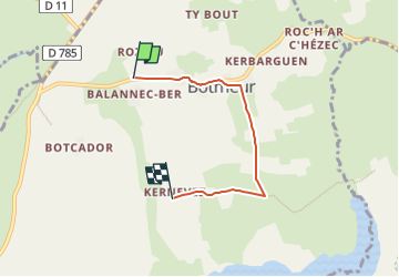

11,8 km | 14,1 km-effort

Tous les sentiers balisés d’Europe GUIDE+


Kostenlosegpshiking-Anwendung
 SityTrail
IGN / Geografische Institute
SityTrail World
Die Welt öffnet sich für Sie
Tour Zu Fuß von 3,7 km verfügbar auf Bretagne, Finistère, Botmeur. Diese Tour wird von SityTrail - itinéraires balisés pédestres vorgeschlagen.
Trail created by Monts d'Arrée communauté.
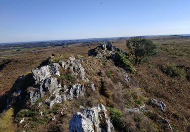
La distance annoncée de 14 km par MAR semble erronée. 18 km ont été mesurés sur le terrain.

Zu Fuß
Wandern
Wandern
Pferd
Wandern
Wandern
Wandern
Wandern