


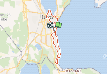

12,3 km | 14,7 km-effort

Tous les sentiers balisés d’Europe GUIDE+


Kostenlosegpshiking-Anwendung
 SityTrail
IGN / Geografische Institute
SityTrail World
Die Welt öffnet sich für Sie
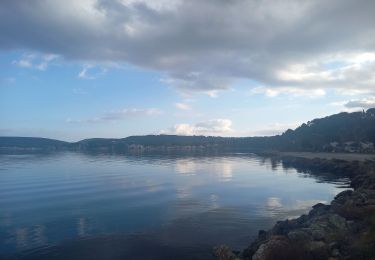
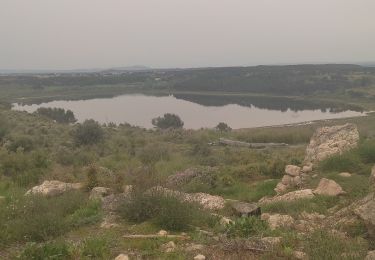
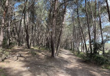
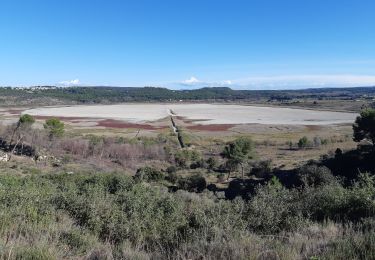
Tour Zu Fuß von 13,3 km verfügbar auf Provence-Alpes-Côte d'Azur, Bouches-du-Rhône, Istres. Diese Tour wird von SityTrail - itinéraires balisés pédestres vorgeschlagen.
Trail created by Département des Bouches-du-Rhône.
Symbol: Blue Bar
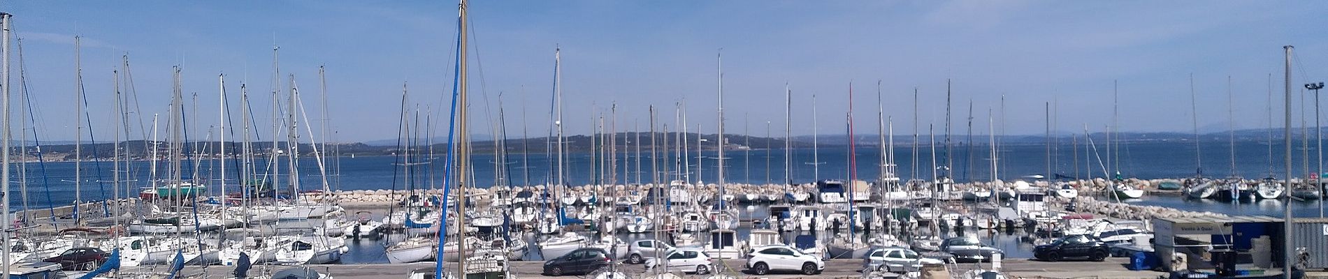
 - Photo 1")
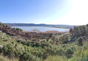
 - Photo 2")
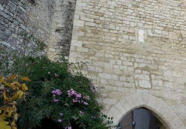
 - Photo 3")
 - Photo 4")
 - Photo 5")
 - Photo 6")
 - Photo 7")
 - Photo 8")
 - Photo 9")
 - Photo 10")

Wandern
Zu Fuß

Zu Fuß
Zu Fuß

Wandern
Wandern
Wandern
Wandern
Wandern