


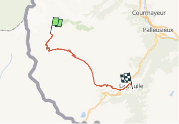

14,9 km | 25 km-effort

Tous les sentiers balisés d’Europe GUIDE+


Kostenlosegpshiking-Anwendung
 SityTrail
IGN / Geografische Institute
SityTrail World
Die Welt öffnet sich für Sie
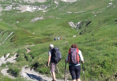
Tour Zu Fuß von 17,9 km verfügbar auf Aostatal, Unbekannt, Courmayeur. Diese Tour wird von SityTrail - itinéraires balisés pédestres vorgeschlagen.
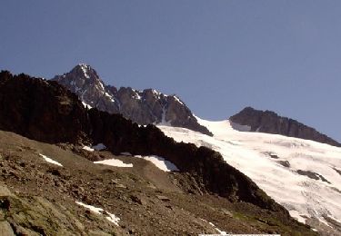
Rifugio Elisabetta Soldini - La Thuile Alte Vie
Website: http://www.lovevda.it/it/banca-dati/7/alte-vie/valle-d-aosta/rifugio-elisabetta-soldini-la-thuile/2985


Zu Fuß
Zu Fuß

Wandern
Wandern
Wandern
Wandern
Wandern
Wandern