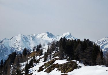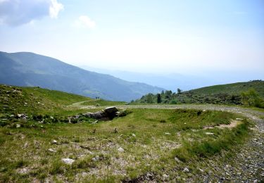

Alta Via n. 1 della Valle d'Aosta - Tappa 2
SityTrail - itinéraires balisés pédestres
Tous les sentiers balisés d’Europe GUIDE+

Länge
7,7 km

Maximale Höhe
2296 m

Positive Höhendifferenz
1123 m

Km-Effort
19,7 km

Min. Höhe
1338 m

Negative Höhendifferenz
250 m
Boucle
Nein
Kennzeichnung
Erstellungsdatum :
2022-02-15 17:01:42.668
Letzte Änderung :
2022-03-01 19:37:13.306
4h29
Schwierigkeit : Einfach

Kostenlosegpshiking-Anwendung
Über SityTrail
Tour Zu Fuß von 7,7 km verfügbar auf Aostatal, Unbekannt, Lillianes. Diese Tour wird von SityTrail - itinéraires balisés pédestres vorgeschlagen.
Beschreibung
Sassa - Rifugio Coda Alte Vie
Website: http://www.lovevda.it/it/banca-dati/7/alte-vie/valle-d-aosta/sassa-rifugio-coda/2986
Ort
Land:
Italy
Region :
Aostatal
Abteilung/Provinz :
Unbekannt
Kommune :
Lillianes
Standort:
Unknown
Gehen Sie:(Dec)
Gehen Sie:(UTM)
411294 ; 5052681 (32T) N.
Kommentare
Touren in der Umgebung

Alta Via n. 1 della Valle d'Aosta - Tappa 3


Zu Fuß
Einfach
Pollone,
Piemont,
Biella,
Italy

8,2 km | 16,6 km-effort
3h 46min
Nein

(SI E43) Rifugio Coda - Santuario di Oropa


Zu Fuß
Einfach
Pollone,
Piemont,
Biella,
Italy

9,2 km | 14,3 km-effort
3h 15min
Nein

Itinerario Processione Fontainemore Oropa


Zu Fuß
Schwierig
Fontainemore,
Aostatal,
Unbekannt,
Italy

15,9 km | 34 km-effort
7h 48min
Nein


801:Carema, loc. San Rocco-Settimo Vittone, loc. Casale, bivio TON801-TON852


Zu Fuß
Einfach
Carema,
Piemont,
Torino,
Italy

5,3 km | 6,5 km-effort
1h 28min
Nein

Pian Coumarial - Mont Mars


Zu Fuß
Einfach
Fontainemore,
Aostatal,
Unbekannt,
Italy

4,2 km | 7,9 km-effort
1h 47min
Nein

Pian Coumarial - Lago Vargno


Zu Fuß
Einfach
Fontainemore,
Aostatal,
Unbekannt,
Italy

5 km | 7,1 km-effort
1h 37min
Nein


 SityTrail


