


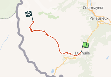

15,6 km | 34 km-effort

Tous les sentiers balisés d’Europe GUIDE+


Kostenlosegpshiking-Anwendung
 SityTrail
IGN / Geografische Institute
SityTrail World
Die Welt öffnet sich für Sie
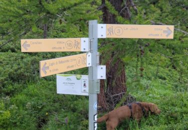
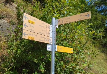
Tour Zu Fuß von 17 km verfügbar auf Aostatal, Unbekannt, La Thuile. Diese Tour wird von SityTrail - itinéraires balisés pédestres vorgeschlagen.
Sentiero Italia CAI 2019
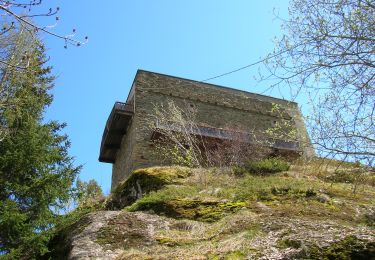
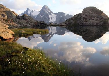
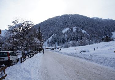
 La Thuile - Rifugio Elisabetta - Photo 1")
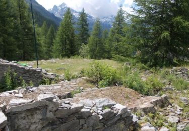
 La Thuile - Rifugio Elisabetta - Photo 2")
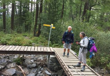
 La Thuile - Rifugio Elisabetta - Photo 3")
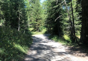
 La Thuile - Rifugio Elisabetta - Photo 4")
 La Thuile - Rifugio Elisabetta - Photo 5")
 La Thuile - Rifugio Elisabetta - Photo 6")
 La Thuile - Rifugio Elisabetta - Photo 7")
 La Thuile - Rifugio Elisabetta - Photo 8")
 La Thuile - Rifugio Elisabetta - Photo 9")
 La Thuile - Rifugio Elisabetta - Photo 10")
Zu Fuß
Zu Fuß
Zu Fuß
Zu Fuß
Wandern

Wandern
Wandern
Wandern