


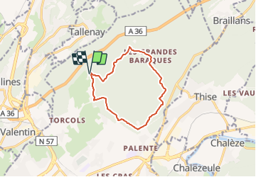

13,4 km | 17,7 km-effort

Tous les sentiers balisés d’Europe GUIDE+


Kostenlosegpshiking-Anwendung
 SityTrail
IGN / Geografische Institute
SityTrail World
Die Welt öffnet sich für Sie
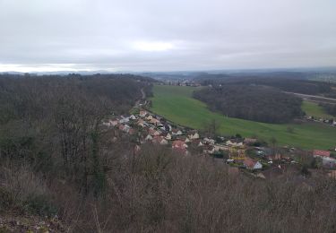
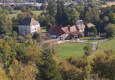
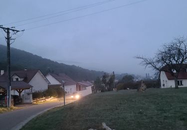
Tour Zu Fuß von 10,2 km verfügbar auf Burgund und Freigrafschaft, Doubs, Besançon. Diese Tour wird von SityTrail - itinéraires balisés pédestres vorgeschlagen.
Trail created by Ville de Besançon.
Website: http://www.grandes-heures-nature.fr/activites/les-randonnees-pedestres/


Wandern
Zu Fuß
Zu Fuß

Andere Aktivitäten

Mountainbike
Wandern
Wandern
Wandern
Zu Fuß