


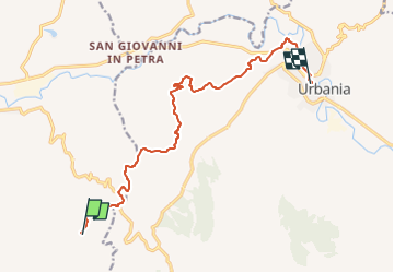

4,2 km | 7,8 km-effort

Tous les sentiers balisés d’Europe GUIDE+


Kostenlosegpshiking-Anwendung
 SityTrail
IGN / Geografische Institute
SityTrail World
Die Welt öffnet sich für Sie
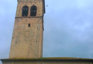
Tour Zu Fuß von 12,5 km verfügbar auf Marken, Pesaro und Urbino, Sant'Angelo in Vado. Diese Tour wird von SityTrail - itinéraires balisés pédestres vorgeschlagen.
Symbol: 464 on white red flags


Zu Fuß
Zu Fuß
Zu Fuß

Zu Fuß
Zu Fuß
Zu Fuß
Zu Fuß