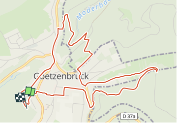

13,1 km | 17,5 km-effort

Tous les sentiers balisés d’Europe GUIDE+


Kostenlosegpshiking-Anwendung
 SityTrail
IGN / Geografische Institute
SityTrail World
Die Welt öffnet sich für Sie
Tour Zu Fuß von 6,7 km verfügbar auf Großer Osten, Mosel, Götzenbrück. Diese Tour wird von SityTrail - itinéraires balisés pédestres vorgeschlagen.
Trail created by Club vosgien Lemberg.
Symbol: yellow circle with white dot in the middle
Website: https://www.gpsies.com/map.do?fileId=ylvttvvdrreleoku
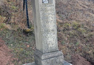
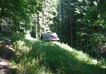
Brunnenweg rund um Götzenbrück - Photo 1")
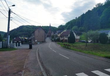
Brunnenweg rund um Götzenbrück - Photo 2")
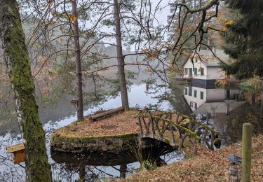
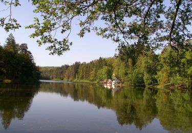
Brunnenweg rund um Götzenbrück - Photo 3")
Brunnenweg rund um Götzenbrück - Photo 4")
Brunnenweg rund um Götzenbrück - Photo 5")
Brunnenweg rund um Götzenbrück - Photo 6")
Brunnenweg rund um Götzenbrück - Photo 7")
Brunnenweg rund um Götzenbrück - Photo 8")
Brunnenweg rund um Götzenbrück - Photo 9")
Brunnenweg rund um Götzenbrück - Photo 10")

Wandern
Reiten
Zu Fuß

Zu Fuß
Zu Fuß

Zu Fuß
Zu Fuß
Zu Fuß