


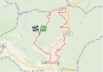

7,8 km | 10,1 km-effort

Tous les sentiers balisés d’Europe GUIDE+


Kostenlosegpshiking-Anwendung
 SityTrail
IGN / Geografische Institute
SityTrail World
Die Welt öffnet sich für Sie
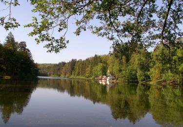
Tour Zu Fuß von 8,7 km verfügbar auf Großer Osten, Mosel, Lemberg. Diese Tour wird von SityTrail - itinéraires balisés pédestres vorgeschlagen.
Trail created by Club vosgien Lemberg.
Symbol: red triangle
Website: http://www.club-vosgien-lemberg.net/wordpress/?page_id=1053


Wandern

Wandern

Wandern

Wandern

Reiten
Zu Fuß

Zu Fuß
Zu Fuß
Zu Fuß