


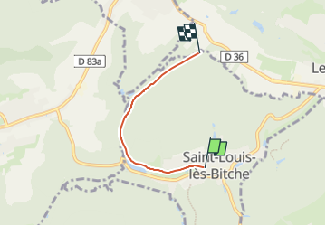

13,1 km | 17,5 km-effort

Tous les sentiers balisés d’Europe GUIDE+


Kostenlosegpshiking-Anwendung
 SityTrail
IGN / Geografische Institute
SityTrail World
Die Welt öffnet sich für Sie
Tour Zu Fuß von 3,1 km verfügbar auf Großer Osten, Mosel, Münzthal-St.Louis. Diese Tour wird von SityTrail - itinéraires balisés pédestres vorgeschlagen.
Trail created by Club vosgien Lemberg.
Symbol: green diamond
Website: https://ignrando.fr/fr/parcours/28222-3713et-lemberg-10-losange-vert-saint-louis-centre-finsterbach-raccord-sur-disque-vert-pres-de-d36


Wandern
Reiten

Reiten
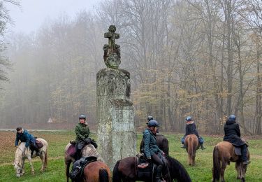
Reiten
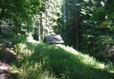
Zu Fuß
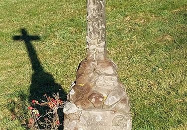
Zu Fuß
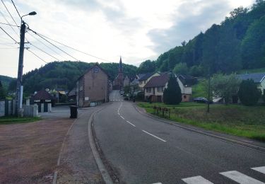
Zu Fuß
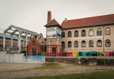
Zu Fuß
Zu Fuß