


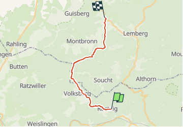

26 km | 34 km-effort

Tous les sentiers balisés d’Europe GUIDE+


Kostenlosegpshiking-Anwendung
 SityTrail
IGN / Geografische Institute
SityTrail World
Die Welt öffnet sich für Sie
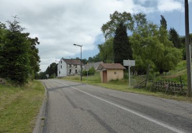
Tour Zu Fuß von 14,8 km verfügbar auf Großer Osten, Unterelsass, Rosteig. Diese Tour wird von SityTrail - itinéraires balisés pédestres vorgeschlagen.
Sentiers circulaires à Soucht : Le départ se fait toujours à Soucht place de la République où se trouve un portique d'information ; les sentiers circulaires sont balisés dans les deux sens comme tous les sentiers du Club Vosgien. - sentier anneau bleu : il se situe au sud-ouest du village et présente de multiples…
Website: https://souchtclubvosgien.wordpress.com/sentiers-et-circuits-vtt/


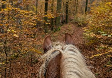
Reiten
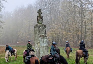
Reiten
Zu Fuß
Zu Fuß

Zu Fuß
Zu Fuß
Zu Fuß
Zu Fuß
Zu Fuß