


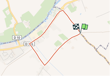

9,1 km | 9,7 km-effort


Tous les sentiers balisés d’Europe GUIDE+


Kostenlosegpshiking-Anwendung
 SityTrail
IGN / Geografische Institute
SityTrail World
Die Welt öffnet sich für Sie
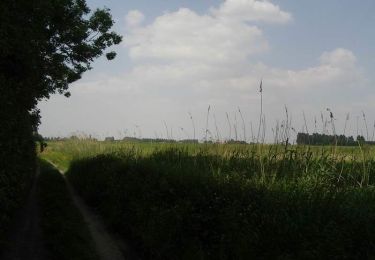
Tour Zu Fuß von 3 km verfügbar auf Nordfrankreich, Pas-de-Calais, Sailly-sur-la-Lys. Diese Tour wird von SityTrail - itinéraires balisés pédestres vorgeschlagen.
Website: https://www.sailly.info/decouvrir-sailly/promenades-saillysiennes/chemins-de-randonnee/

Zu Fuß
Zu Fuß
Zu Fuß

Wandern

Wandern
Wandern

Wandern
Wandern
Wandern