


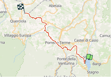

18,5 km | 28 km-effort

Tous les sentiers balisés d’Europe GUIDE+


Kostenlosegpshiking-Anwendung
 SityTrail
IGN / Geografische Institute
SityTrail World
Die Welt öffnet sich für Sie
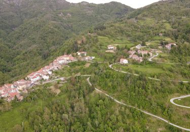
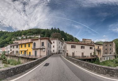
Tour Zu Fuß von 22 km verfügbar auf Emilia-Romagna, Bologna, Castel di Casio. Diese Tour wird von SityTrail - itinéraires balisés pédestres vorgeschlagen.
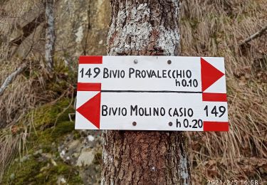
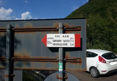
Trail created by CAI Porretta Terme.


Zu Fuß
Zu Fuß
Zu Fuß
Zu Fuß
Zu Fuß
Zu Fuß
Zu Fuß