![](/images/other/stat-length.png)
![Tour Zu Fuß Kastelruth - IT-10 - Photo](https://media.geolcdn.com/t/1900/400/452074b7-2546-4dda-b2aa-124f39c83e52.jpeg&format=pjpeg&maxdim=2)
IT-10
SityTrail - itinéraires balisés pédestres
Tous les sentiers balisés d’Europe GUIDE+
![Länge](/images/other/stat-length.png)
Länge
7,1 km
![Maximale Höhe](https://static1.geolcdn.com/siteimages/upload/files/1508320355ic_sort_altitude_max_24dp.png)
Maximale Höhe
1456 m
![Positive Höhendifferenz](https://static1.geolcdn.com/siteimages/upload/files/1508320355ic_sort_den_pos_24dp.png)
Positive Höhendifferenz
75 m
![Km-Effort](/images/other/stat-length.png)
Km-Effort
9,4 km
![Min. Höhe](https://static1.geolcdn.com/siteimages/upload/files/1508320355ic_sort_altitude_min_24dp.png)
Min. Höhe
1032 m
![Negative Höhendifferenz](https://static1.geolcdn.com/siteimages/upload/files/1508320355ic_sort_den_neg_24dp.png)
Negative Höhendifferenz
462 m
![Boucle](https://static1.geolcdn.com/siteimages/upload/files/16400158638029165_repeat_loop_refresh_sync_direction_icon.png)
Boucle
Nein
Kennzeichnung
Erstellungsdatum :
2022-02-15 13:00:39.998
Letzte Änderung :
2022-03-01 11:04:22.162
![Zu Fuß](https://static1.geolcdn.com/sitytour/trail-icons/100.png)
2h08
Schwierigkeit : Einfach
![Scannen Sie diesen QR-Code, um die Tour in der SityTrail-Anwendung zu öffnen](https://capi.geolives.com/qq0zvz2zws4bq2lad0pu/sitytour/trails/3118902/qr.png?size=200)
Kostenlosegpshiking-Anwendung
Über SityTrail
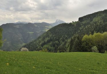
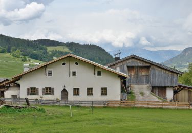
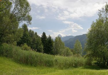
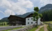
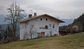
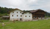
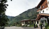
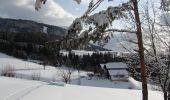
Tour Zu Fuß von 7,1 km verfügbar auf Trentino-Südtirol, Bozen, Kastelruth. Diese Tour wird von SityTrail - itinéraires balisés pédestres vorgeschlagen.
Beschreibung
Trail created by AVS.
Ort
Land:
Italy
Region :
Trentino-Südtirol
Abteilung/Provinz :
Bozen
Kommune :
Kastelruth
Standort:
Unknown
Gehen Sie:(Dec)
Gehen Sie:(UTM)
700992 ; 5161709 (32T) N.
Kommentare
Touren in der Umgebung
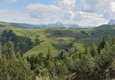
![Tour Zu Fuß Kastelruth - IT-5 - Photo](https://media.geolcdn.com/t/375/260/e1cc7a5e-e3cd-4887-a2e9-4c1bceaace35.jpeg&format=jpg&maxdim=2)
![Zu Fuß Zu Fuß](https://static1.geolcdn.com/sitytour/trail-icons/100.png)
![Tour Zu Fuß Lajen - IT-4 - Photo](https://media.geolcdn.com/t/375/260/98fd87ab-0854-4dc6-8ded-bed50afdf47f.jpeg&format=jpg&maxdim=2)
![Zu Fuß Zu Fuß](https://static1.geolcdn.com/sitytour/trail-icons/100.png)
![Tour Zu Fuß Kastelruth - IT-9 - Photo](https://media.geolcdn.com/t/375/260/4b38568f-e1b6-42b9-96cf-c08768c59a51.jpeg&format=jpg&maxdim=2)
![Zu Fuß Zu Fuß](https://static1.geolcdn.com/sitytour/trail-icons/100.png)
IT-9
Zu Fuß
Einfach
Kastelruth,
Trentino-Südtirol,
Bozen,
Italy
![](/images/other/stat-length.png)
10,3 km | 18,3 km-effort
4h 9min
![](https://static1.geolcdn.com/siteimages/upload/files/16400158638029165_repeat_loop_refresh_sync_direction_icon.png)
Nein
![Tour Wandern St. Ulrich in Gröden - Raschötz Alm - Photo](https://media.geolcdn.com/t/375/260/c613b269-16e4-4161-a2ac-949771ddaec5.jpg&format=jpg&maxdim=2)
![Wandern Wandern](https://static1.geolcdn.com/sitytour/trail-icons/101.png)
Raschötz Alm
Wandern
Einfach
St. Ulrich in Gröden,
Trentino-Südtirol,
Bozen,
Italy
![](/images/other/stat-length.png)
5,4 km | 7,7 km-effort
3h 14min
![](https://static1.geolcdn.com/siteimages/upload/files/16400158638029165_repeat_loop_refresh_sync_direction_icon.png)
Ja
![Tour Zu Fuß Kastelruth - Hans und Paula Steger Weg - Photo](https://media.geolcdn.com/t/375/260/7b20992d-338d-4951-b467-65df43175daf.jpeg&format=jpg&maxdim=2)
![Zu Fuß Zu Fuß](https://static1.geolcdn.com/sitytour/trail-icons/100.png)
Hans und Paula Steger Weg
Zu Fuß
Einfach
Kastelruth,
Trentino-Südtirol,
Bozen,
Italy
![](/images/other/stat-length.png)
8,8 km | 12,5 km-effort
2h 50min
![](https://static1.geolcdn.com/siteimages/upload/files/16400158638029165_repeat_loop_refresh_sync_direction_icon.png)
Nein
![Tour Zu Fuß Lajen - IT-6 - Photo](https://media.geolcdn.com/t/375/260/df159849-057e-4f53-8c31-af837dc54213.jpeg&format=jpg&maxdim=2)
![Zu Fuß Zu Fuß](https://static1.geolcdn.com/sitytour/trail-icons/100.png)
![Tour Zu Fuß Kastelruth - IT-2 - Photo](https://media.geolcdn.com/t/375/260/fbdb345a-9415-4583-9502-ae7c6e059502.jpeg&format=jpg&maxdim=2)
![Zu Fuß Zu Fuß](https://static1.geolcdn.com/sitytour/trail-icons/100.png)
IT-2
Zu Fuß
Einfach
Kastelruth,
Trentino-Südtirol,
Bozen,
Italy
![](/images/other/stat-length.png)
7,7 km | 10,7 km-effort
2h 25min
![](https://static1.geolcdn.com/siteimages/upload/files/16400158638029165_repeat_loop_refresh_sync_direction_icon.png)
Nein
![Tour Zu Fuß Kastelruth - IT-16 - Photo](https://media.geolcdn.com/t/375/260/55eaccdc-adcd-4e14-b293-5e55655a2f0e.jpeg&format=jpg&maxdim=2)
![Zu Fuß Zu Fuß](https://static1.geolcdn.com/sitytour/trail-icons/100.png)
IT-16
Zu Fuß
Einfach
Kastelruth,
Trentino-Südtirol,
Bozen,
Italy
![](/images/other/stat-length.png)
5,7 km | 8,4 km-effort
1h 55min
![](https://static1.geolcdn.com/siteimages/upload/files/16400158638029165_repeat_loop_refresh_sync_direction_icon.png)
Nein
![Tour Zu Fuß Klausen - IT-11 - Photo](https://media.geolcdn.com/t/375/260/ff6361fc-0508-4a9d-b652-3c1b78254509.jpeg&format=jpg&maxdim=2)
![Zu Fuß Zu Fuß](https://static1.geolcdn.com/sitytour/trail-icons/100.png)