


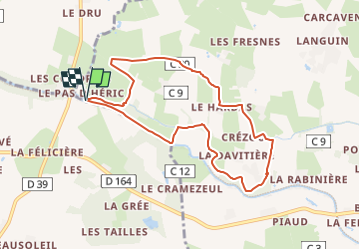

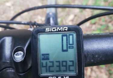
8,2 km | 8,9 km-effort


Tous les sentiers balisés d’Europe GUIDE+


Kostenlosegpshiking-Anwendung
 SityTrail
IGN / Geografische Institute
SityTrail World
Die Welt öffnet sich für Sie
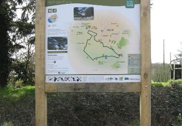
Tour Zu Fuß von 8,1 km verfügbar auf Pays de la Loire, Loire-Atlantique, Nort-sur-Erdre. Diese Tour wird von SityTrail - itinéraires balisés pédestres vorgeschlagen.
Trail created by Office de Tourisme d'Erdre & Gesvres.
Andere Aktivitäten
Wandern
Zu Fuß

Pferd
Wandern

Zu Fuß
Hybrid-Bike
Wandern

Mountainbike