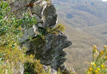
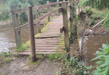
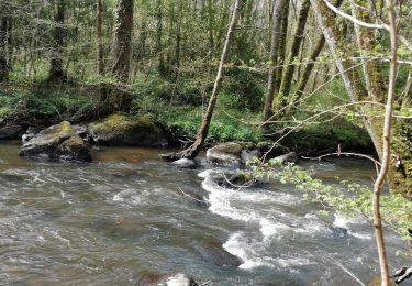
9,7 km | 12,4 km-effort
Le chant des cailoux
SityTrail - itinéraires balisés pédestres
Tous les sentiers balisés d’Europe GUIDE+
Länge
7,9 km
Maximale Höhe
210 m
Positive Höhendifferenz
133 m
Km-Effort
9,7 km
Min. Höhe
123 m
Negative Höhendifferenz
134 m
Boucle
Ja
Kennzeichnung
Erstellungsdatum :
2022-02-15 12:25:13.057
Letzte Änderung :
2022-03-02 15:37:41.859
2h12
Schwierigkeit : Einfach
Kostenlosegpshiking-Anwendung
Über SityTrail
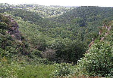
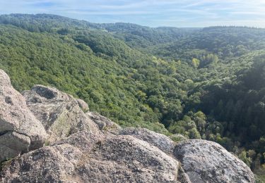
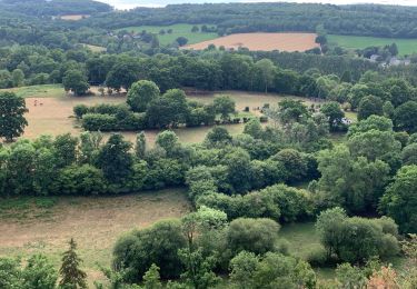
Tour Zu Fuß von 7,9 km verfügbar auf Normandie, Orne, Athis-Val-de-Rouvre. Diese Tour wird von SityTrail - itinéraires balisés pédestres vorgeschlagen.
Ort
Land:
France
Region :
Normandie
Abteilung/Provinz :
Orne
Kommune :
Athis-Val-de-Rouvre
Standort:
La Carneille
Gehen Sie:(Dec)
Gehen Sie:(UTM)
689320 ; 5407107 (30U) N.
Kommentare
Touren in der Umgebung
Autour des roches d'oetre
Wandern
Einfach
(3)
Saint-Philbert-sur-Orne,
Normandie,
Orne,
France
2h 30min
Ja
Rando botanique - Ségrie Fontaine
Wandern
Medium
(2)
Athis-Val-de-Rouvre,
Normandie,
Orne,
France
10,4 km | 13,4 km-effort
3h 40min
Ja
Roche d’oëtre sentier du Granite
Wandern
Sehr leicht
Saint-Philbert-sur-Orne,
Normandie,
Orne,
France
10,1 km | 12,7 km-effort
2h 43min
Ja
Circuit des méandres
Wandern
Medium
Saint-Philbert-sur-Orne,
Normandie,
Orne,
France
6,4 km | 8,4 km-effort
1h 54min
Ja
Les Fontaines
Zu Fuß
Einfach
(1)
Athis-Val-de-Rouvre,
Normandie,
Orne,
France
5,7 km | 7,3 km-effort
1h 38min
Ja
Sentier du granite
Zu Fuß
Einfach
(1)
Athis-Val-de-Rouvre,
Normandie,
Orne,
France
8,6 km | 11 km-effort
2h 30min
Ja
Wikiloc Roche doetre (PVDB)
Wandern
Medium
Saint-Philbert-sur-Orne,
Normandie,
Orne,
France
8,3 km | 10,8 km-effort
2h 48min
Ja
La roche d'oëtre - Le cul du Rouvre
Wandern
Medium
Saint-Philbert-sur-Orne,
Normandie,
Orne,
France
6,8 km | 8,7 km-effort
1h 36min
Ja
circuit des méandres
Wandern
Medium
Saint-Philbert-sur-Orne,
Normandie,
Orne,
France
6,3 km | 8,3 km-effort
1h 46min
Ja