


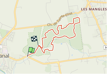

6,5 km | 7,5 km-effort


Tous les sentiers balisés d’Europe GUIDE+


Kostenlosegpshiking-Anwendung
 SityTrail
IGN / Geografische Institute
SityTrail World
Die Welt öffnet sich für Sie
Tour Zu Fuß von 5,7 km verfügbar auf Guadeloupe, Unbekannt, Petit-Canal. Diese Tour wird von SityTrail - itinéraires balisés pédestres vorgeschlagen.
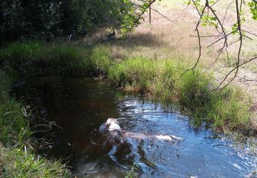
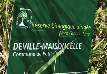
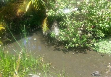
Trail created by Forêt départementale de Deville Maisoncelle.
Symbol: yellow bar on top, blue bar below
Wandern
Wandern

Wandern

Pfad
Wandern
Wandern
Wandern
Wandern
Wandern