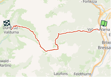

7,3 km | 13,5 km-effort

Tous les sentiers balisés d’Europe GUIDE+


Kostenlosegpshiking-Anwendung
 SityTrail
IGN / Geografische Institute
SityTrail World
Die Welt öffnet sich für Sie
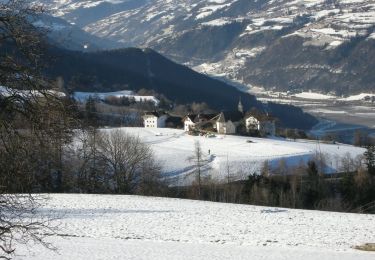
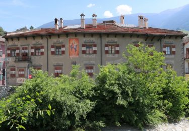
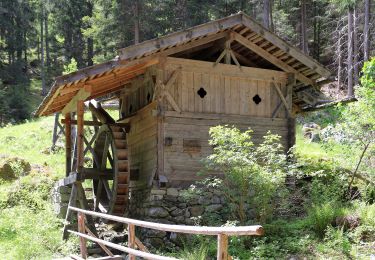
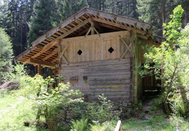
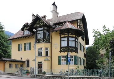
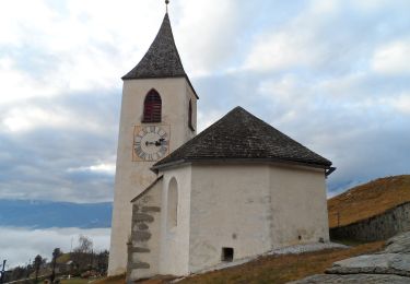
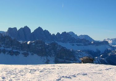
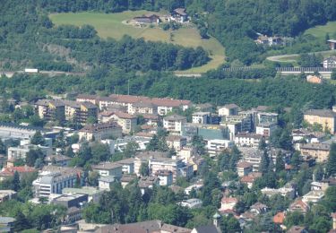
Tour Zu Fuß von 23 km verfügbar auf Trentino-Südtirol, Bozen, Vahrn. Diese Tour wird von SityTrail - itinéraires balisés pédestres vorgeschlagen.
Trail created by Alpenverein Südtirol.
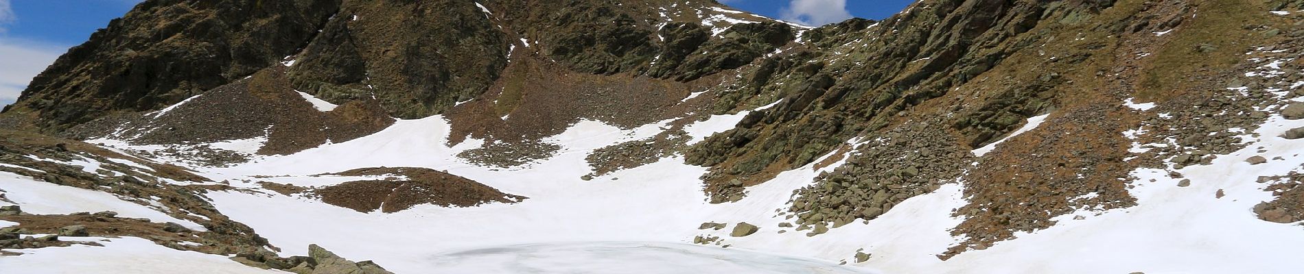
Symbol: roter Strich auf weißem Grund


Zu Fuß
Zu Fuß
Zu Fuß