


32 km | 37 km-effort
Randonnées au coeur d'une nature préservée GUIDE+


Kostenlosegpshiking-Anwendung
 SityTrail
IGN / Geografische Institute
SityTrail World
Die Welt öffnet sich für Sie
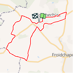
Tour Wandern von 8,7 km verfügbar auf Wallonien, Hennegau, Froidchapelle. Diese Tour wird von La Forêt du Pays de Chimay vorgeschlagen.
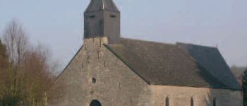
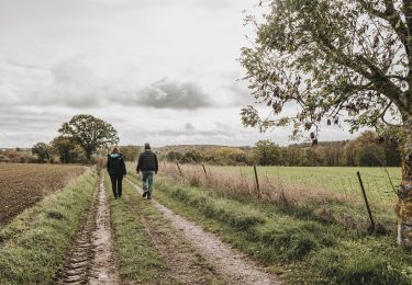
Vom Beginn dieses Spaziergangs aus, der ausschließlich über Landwege verläuft, können Sie die kleine charmante Kirche des Ortes bewundern, deren ältester Teil, der Chor, aus dem 12. Jahrhundert stammt.
Nicht weit von dort entfernt finden Sie einen kleinen Platz mit Bäumen, dessen alter Pavillon eine Linde umgibt, die zur Blütezeit einen herrlichen Duft versprüht.
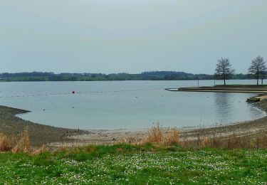
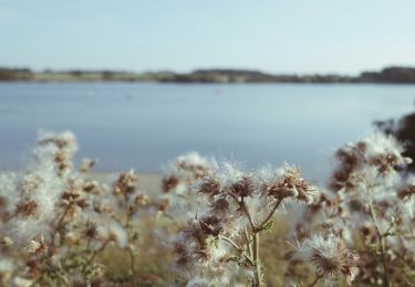
Abgesehen vom Stadtzentrum, das in einer Senke liegt, verläuft der Großteil des Spaziergangs über hochgelegene Wege. Sie können also eine Vielzahl unterschiedlicher Landschaften bewundern.
 - Spaziergang Fourbechies - Photo 1")
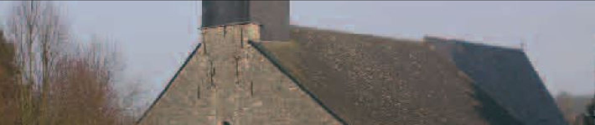
 - Spaziergang Fourbechies - Photo 2")
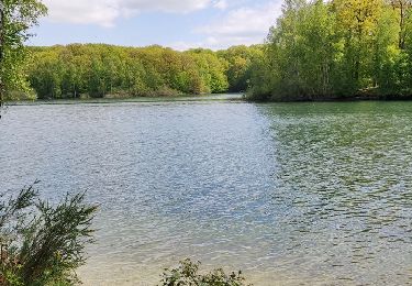
 - Spaziergang Fourbechies - Photo 3")

Mountainbike

Wandern

Wandern
Wandern
Wandern

Zu Fuß

Zu Fuß
Mountainbike
Zu Fuß
Super et bien fait.